What is recorded here
No passage has been identified at Muckram Fort. The assumption is an elongated depression, 6.8m long and 4.4m wide, in the WNW interior of the rath. It may mark a lost underground route, or it may be only a hollow left behind by water, rot or forgotten work.
At 'Muckram Fort' (CV037-025001-). An elongated depression (L 6.8m; Wth 4.4m) in the WNW of the interior of the rath may represent the site of a Man-made underground passage.
The above description is derived from the published 'Archaeological Inventory of County Cavan' (Dublin: Stationery Office, 1995). In certain instances the entries have been revised and updated in the light of recent research.
Date of upload/revision: 22 December 2008
The monument record does not grant public access. Check the route and ask the landowner before entering private land.
- What survives
- Recorded monument
Places near here
 Muckram FortFairy fort / earthen ringfort · 1 yd
 Mackram FortArchaeological place · 10 yd
 DrumbrucklisMountain / peak · 1676 yd
 Aghakilmore LowerMountain / peak · 1.2 mi
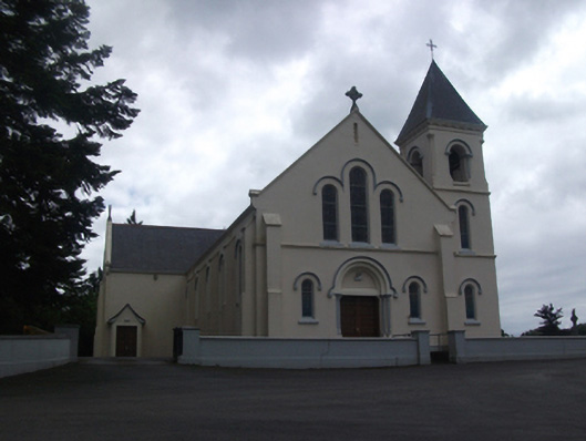 Our Lady of Lourdes Roman Catholic Churchchurch/chapel · 1.8 mi
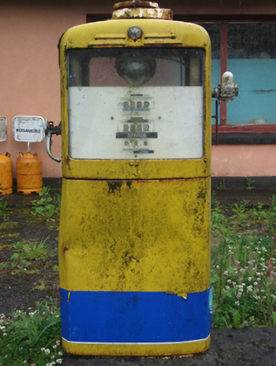 filling pump/stationfilling pump/station · 2.1 mi
 IdicatedCastle, unclassified · 2.3 mi
 Moynagh Upper ForestForest · 2.7 mi
 Deer ParkWood · 2.8 mi
 Crane IslandIslet · 3.4 mi
 CastleCastle, motte · 3.4 mi
 Gull IslandIslet · 3.4 mi