What is recorded here
In pasture, on a W-facing slope to the W of Durrus. According to local information, there is a Man-made underground passage here which was open in the 1950s. It has since been filled in and there are no visible remains of it.
The above description is derived from 'The Archaeological Inventory of County Cork. Volume 5' (Dublin: Stationery Office, 2009).
Date of upload: 22 December 2009
This remains an important historical record, but the official description says the monument is no longer visible or has been destroyed. The monument record does not grant public access. Check the route and ask the landowner before entering private land.
- What survives
- No visible remains or recorded as destroyed
Places near here
 Coolnalong Castle (in Ruins)House, fortified house · 395 yd
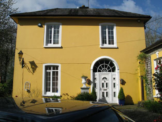 rectory/glebe/vicarage/curate's houserectory/glebe/vicarage/curate's house · 719 yd
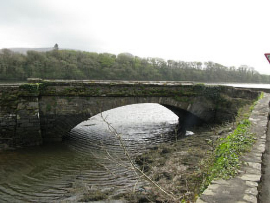 bridgebridge · 846 yd
 Mannion's Island (Small)Islet · 1066 yd
 Rossmore Castle (in Ruins)Castle, tower house · 1123 yd
 Burial Ground (Disused)Burial ground · 1288 yd
 Mannion's Island (Large)Islet · 1388 yd
 Gearhmeen FortArchaeological place · 1.0 mi
 Coomkeen Loop WalkWalking route · 1.8 mi
 KilbreaghMountain / peak · 1.8 mi
 Mount CorrinMountain / peak · 1.9 mi
 Durrus CheeseHeritage attraction · 2.0 mi