What is recorded here
In pasture, located at the SE edge of a natural terrace, on a SE-facing slope overlooking Lackan Bay, and Kilcummin Headland to E. There is a stream c. 16m to S bordering the S side of the field. To NW the ground rises gradually to a ridge.
This Man-made underground passage of drystone construction is partly collapsed. Most of the roof lintels and portions of the side walls have been robbed out. In plan, it consists of a roughly U-shaped arrangement of two parallel E−W passages, set c. 2m apart, linked at their W end by a small rectangular chamber. The S passage (L c. 5.5m E–W; Wth c. 1-1.3m; H at least 0.9m) is roofless. Intact sections of side walls can be glimpsed intermittently. At its W end it makes a right angled turn, merging with a small intact rectangular chamber (Wth 1.37m E–W; H 1.24m) which extends for 3.6m to N. At ground level roughly mid-way along the E wall of the chamber there is a lintelled opening (H 0.9m; Wth 0.53m at base, 0.4m at top) to a short creep, which opens into the SW angle of the N passage (L c. 9-10m E–W). The western third of the N passage is roofed and intact, the remainder is roofless, with sections of the side walling robbed out. In the S wall, at a height of c. 0.5m above floor level, there is a small stone-lined recess (Wth 0.4m; H 0.25m) which extends 0.7m into the depth of the wall, ending at an earthen face.
The Man-made underground passage is built of local stone. Short, thin horizontally-laid rectangular slabs facilitate a style of neatly coursed construction. In parts the basal courses are cut into bedrock. From a point about midway up their height, the walls are gently corbelled to support the roof lintels. The lintels are relatively thin, and this may have contributed to the collapse of the Man-made underground passage; several of the in situ lintels in the W end of the N passage are cracked or slightly displaced.
The full, original extent of the Man-made underground passage is unclear. Immediately to W of the Man-made underground passage is a subrectangular, grassed-over hollow (c. 4m E–W; c. 2-2.5m N–S; D 1.2-1.6m), with stones protruding in parts from the N side, and bordered on the S side by a heap of stones. It is unclear if this hollow relates to the Man-made underground passage. Low, sod-covered linear scarps (H 0.3-0.5m) extend across the field to W and N of the Man-made underground passage. These appear to be remnants of field divisions that post-date the Man-made underground passage.
Images:
MA007-087----_01.JPG Collapsed Man-made underground passage viewed from N
MA007-087----_02.JPG W end of N passage, with opening to creepway to chamber
MA007-087----_03.JPG Chamber, with opening of creepway to N passage at R
Compiled by: Jane O’ Shaughnessy
Date of upload: 29 September 2017
The monument record does not grant public access. Check the route and ask the landowner before entering private land.
- What survives
- Recorded monument
Places near here
 Enclosure in Castletown (tirawley By., Lackan Par.)Enclosure · 516 yd
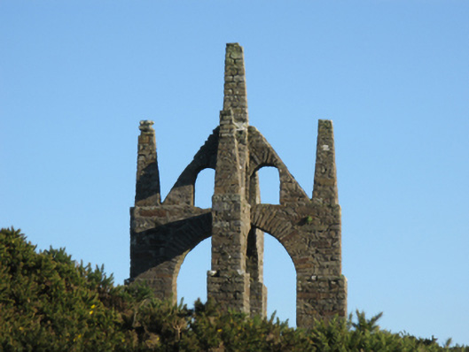 Castlelackanfolly · 806 yd
 IndicatedChurch · 1124 yd
 CastleCastle, unclassified · 1337 yd
 Enclosure in Beltra (tirawley By., Lackan Par.),rathlackanEnclosure · 1457 yd
 French Landing 1798Memorial · 2.2 mi
 TrabaunBeach / strand · 2.5 mi
 CastlenageehaCastle, unclassified · 2.7 mi
 PollatarriveCliff · 3.1 mi
 Lisheen Grave YardArchaeological place · 4.0 mi
 WW2 Éire MarkerHeritage attraction · 4.5 mi
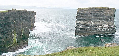 Downpatrick HeadHeadland · 4.5 mi