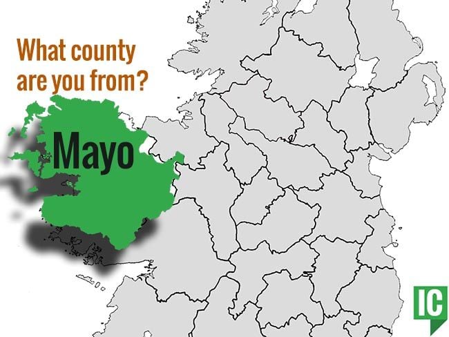
What is recorded here
In an enclosure (MA008-001001-), which was used as a children's burial ground (MA008-001002-).
This possible church is depicted on the 1838 OS 6-inch map as a rectangular structure or building (c. 9m E-W; c. 6m N–S) in the centre of the enclosure; it is not shown on the 1922 edition.
A low square platform (6.8m E–W; 6.6m N–S; H 0.35m) is located roughly in the centre of the enclosure. It is defined around its edge by an intermittent kerb of upright stones. It may represent the foundations of a building which has been modified in the more recent past.
Compiled by: Jane O'Shaughnessy
Date of upload: 1 July 2019
The monument record does not grant public access. Check the route and ask the landowner before entering private land.
- What survives
- Recorded monument
Places near here
 Enclosure in Beltra (tirawley By., Lackan Par.),rathlackanEnclosure · 1511 yd
 Enclosure in Castletown (tirawley By., Lackan Par.)Enclosure · 1596 yd
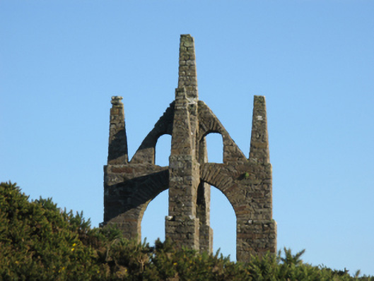 Castlelackanfolly · 1.1 mi
 CastleCastle, unclassified · 1.4 mi
 Church (in Ruins)Church · 1.5 mi
 French Landing 1798Memorial · 2.3 mi
 TrabaunBeach / strand · 2.8 mi
 PollatarriveCliff · 2.9 mi
 CastlenageehaCastle, unclassified · 3.0 mi
 WW2 Éire MarkerHeritage attraction · 4.3 mi
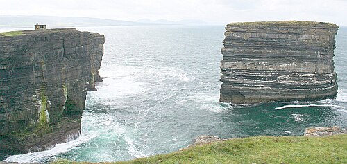 Downpatrick HeadHeadland · 4.3 mi
 Lisheen Grave YardArchaeological place · 4.5 mi
Other information
Photo: Credit not shown in the picture search · Rights wording not checked; contact us if this picture should be removed