What is recorded here
Ten metres of clay and gravel still mark the passage beneath the Castletown rath, with a four-metre spur reaching south from its west end. People probably dug through solid earth to reach water, deposit a body or keep something hidden from the rain. The nearby stream and the charcoal beside the post-hole suggest the dark tunnel served a living purpose rather than appearing as a casual mistake.
Located at the SE tip of a low NW-SE spur, with the headwaters of a small N-S stream c. 50m to the E. A magnetic gradiometer survey (19R0077) conducted by J. Nicholls on behalf of Meath County Council identified a rath (ME012-052----) (Nicholls 2019, 7). There is a linear feature (dims c. 10m E-W; c. 2m N-S) in the interior with a spur (L c. 4m) extending S from its W end. This is probably a Man-made underground passage, and archaeological testing (19E0565) exposed it as a band (Wth 1.8m) of clay and gravel with some stones and flecks of charcoal. There was a post-hole with charcoal just to its N. (Moore 2019, 9-4)
Compiled by: Michael Moore
Date of upload; 1 March 2021
The monument record does not grant public access. Check the route and ask the landowner before entering private land.
- What survives
- Recorded monument
Places near here
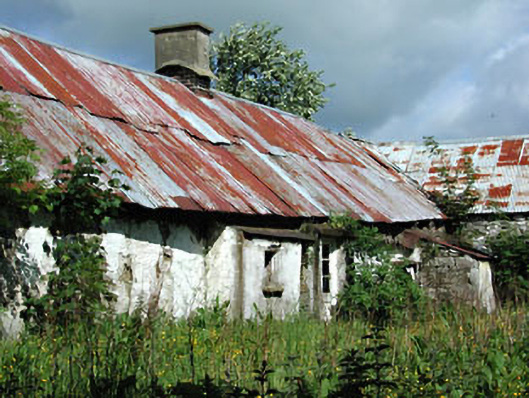 farm housefarm house · 547 yd
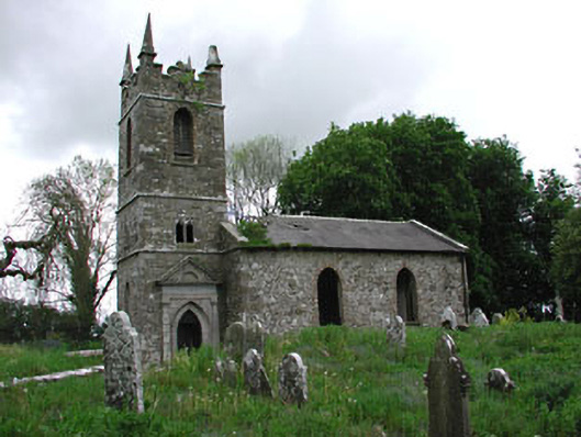 Saint Patrick's Church (Castletown)church/chapel · 676 yd
 Enclosure in HeadstownEnclosure · 698 yd
 Castletown FortCastle, motte and bailey · 792 yd
 Headstown ForestForest · 1029 yd
 HeadstownMountain / peak · 1164 yd
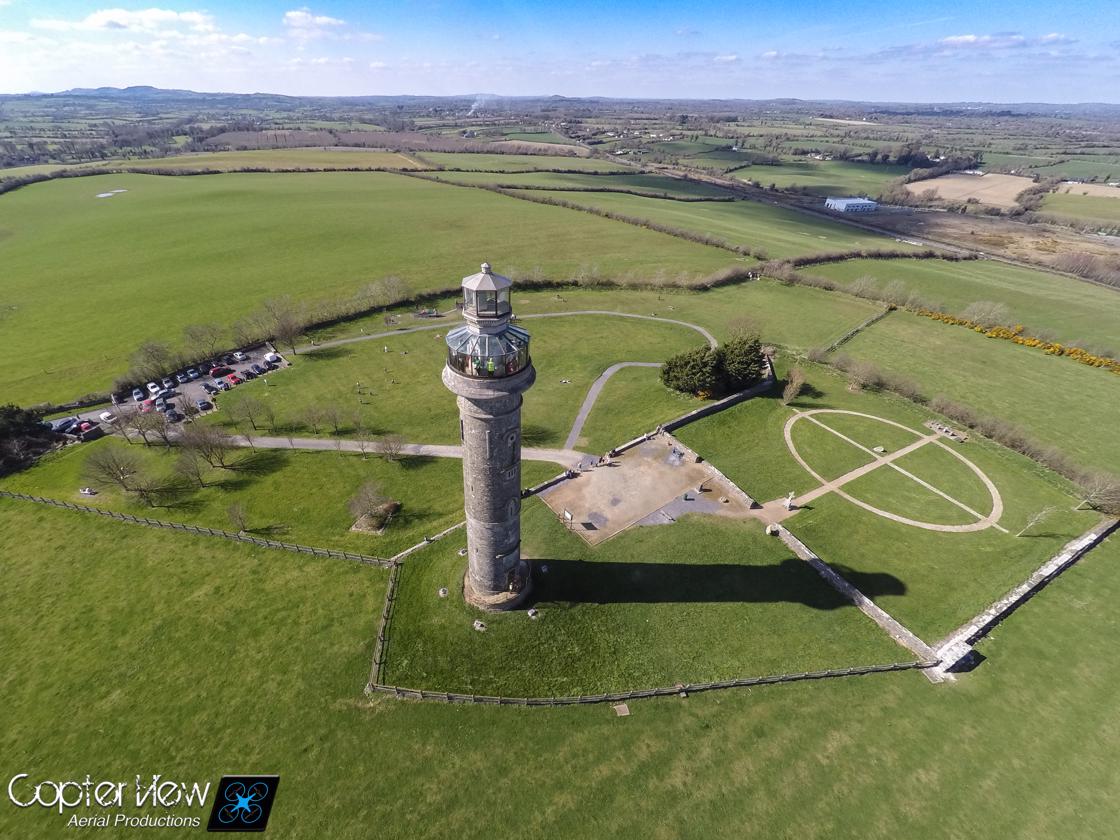 Trinity WellHoly well · 1.1 mi
 Fox CovertWood · 1.4 mi
 Ugly HillMountain / peak · 1.4 mi
 Stokestown CastleCastle, unclassified · 2.1 mi
 Nobber GreenwayMemorial · 2.4 mi
 Owenroe and Moynalty DrainageMemorial · 3.7 mi