What is recorded here
Within the NE quadrant of a rath (SL018-028001-) are two hollows which may indicate a collapsed Man-made underground passage. The first is a linear depression (4m NE-SW; 2m NW-SE; D 0.65m) with stones protruding beneath the sod along its interior sides. The second is located 2m NE of the first, abutting the inner face of the bank. This comprises a roughly circular hollow (diam. 4m; D 0.4m) containing some sod-covered stone.
Compiled by: Patrick F. O'Donovan
Date of upload: 19 January 2011
The monument record does not grant public access. Check the route and ask the landowner before entering private land.
- What survives
- Recorded monument
Places near here
 IndicatedFairy fort / earthen ringfort · 6 yd
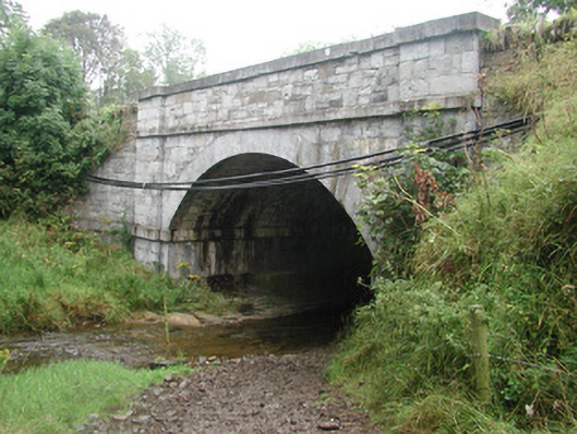 bridgebridge · 396 yd
 R. C. ChapelChurch · 439 yd
 CastleCastle, tower house · 597 yd
 Fulacht fia in BallyeeskeenFulacht fia · 1117 yd
 Site of Dunneill CastleCastle, unclassified · 2.2 mi
 DonaghHeadland · 2.2 mi
 Aughris HeadHeadland · 3.1 mi
 Aughris BeachBeach / strand · 3.3 mi
 Dunmoran StrandBeach / strand · 3.9 mi
 KnockalongyMountain / peak · 4.1 mi
 Knockalongy North-East TopMountain / peak · 4.1 mi