What is recorded here
In pasture, located in a slight rise c. 45m SSW of an enclosure (MA102-013----). There is an ENE−WSW field fence immediately to S.
According to local information, this is a blocked up access hole to a Man-made underground passage which extends N towards the enclosure (MA102-013----). A shallow surface depression (c. 1.5m N–S; 1m E–W) is evident, with small stones protruding from the grass-covered surface. It is bordered at its S edge by the ENE−WSW field fence. Two large, prostrate slabs (max. dim. 1.3-1.7m), possibly displaced roof lintels from the Man-made underground passage, lie against a field fence.
Compiled by: Jane O’Shaughnessy
Date of upload: 26 September 2022
The monument record does not grant public access. Check the route and ask the landowner before entering private land.
- What survives
- Recorded monument
Places near here
 IndicatedFairy fort / earthen ringfort · 932 yd
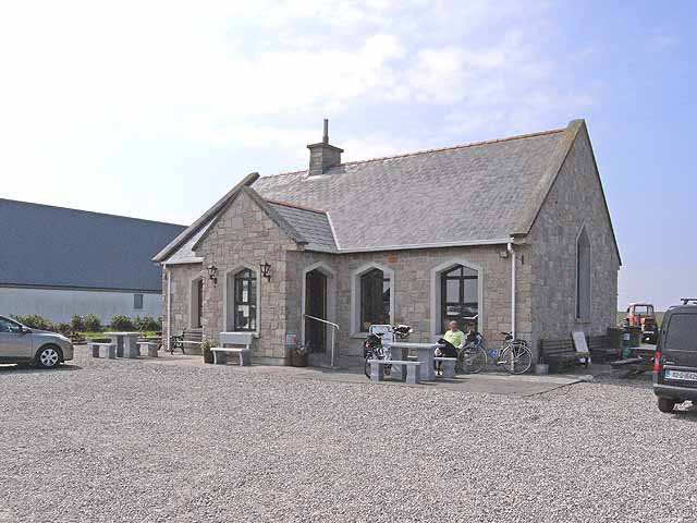 Enclosure in Lissaniska (costello By.)Enclosure · 1301 yd
 Catholic Church of Saint Margaret Mary Alacoquechurch/chapel · 1.6 mi
 Church (in Ruins)Church · 1.8 mi
 Knock MuseumMuseum · 2.7 mi
 Ballybooley CastleCastle · 2.8 mi
 Knock ShrineHeritage attraction · 2.8 mi
 Bawn in Murneen SouthBawn · 4.0 mi
 Oak WoodForest · 5.8 mi
 Geoffrey's WoodForest · 6.5 mi
 Mass RockNamed rock · 16 mi
 LisheennafreaghogeFairy fort / earthen ringfort · 1.7 mi