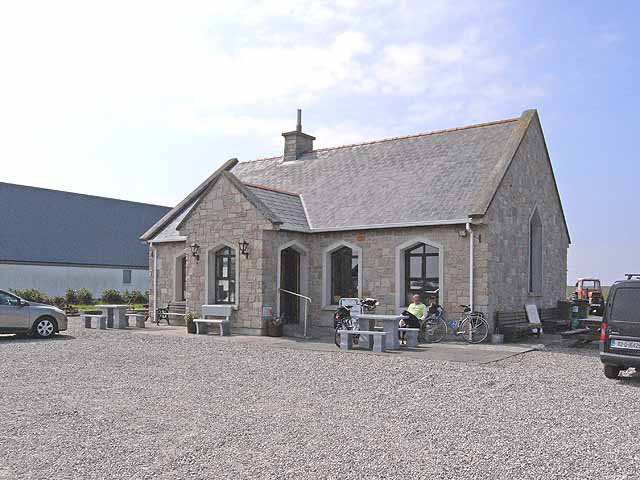
What is recorded here
In the NE corner of a field improved pasture, located on a rise with excellent views to S–SW over an expanse of lowlying pasture.
Not shown on the 1838 OS 6-inch map; shown on the 1916 edition as a shallow hachured arc curving N−SE, truncated at its N end by a NW-SE field boundary.
The arc of bank (Wth 2.8m; int. H (on N) 0.5m; ext. H 1m) can be traced NE–SSW in a shallow curve (diam. c. 21m NE–SW), curving to SW from the intersection of two field fences that form the N and E sides of the NE corner of a modern field. The N field fence is distinguished by an abrupt scarp (H c. 2m) on it N side. The remains may represent the E–SE quadrant of an originally circular enclosure. Hawthorn trees grow on the arc of bank.
Compiled by: Jane O’Shaughnessy
Date of upload: 26 September 2022
The monument record does not grant public access. Check the route and ask the landowner before entering private land.
- What survives
- Recorded monument
Places near here
 IndicatedFairy fort / earthen ringfort · 715 yd
 Catholic Church of Saint Margaret Mary Alacoquechurch/chapel · 1.1 mi
 Church (in Ruins)Church · 1.2 mi
 Enclosure in BekanEnclosure · 1.2 mi
 Knock MuseumMuseum · 3.3 mi
 Knock ShrineHeritage attraction · 3.3 mi
 Ballybooley CastleCastle · 3.5 mi
 Bawn in Murneen SouthBawn · 4.7 mi
 Oak WoodForest · 6.1 mi
 Geoffrey's WoodForest · 6.9 mi
 Mass RockNamed rock · 16 mi
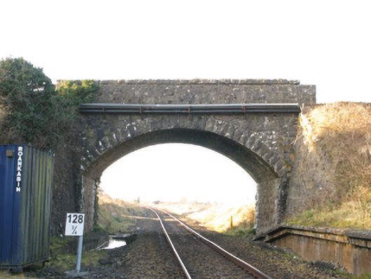 bridgebridge · 1.3 mi
Other information
Photo: Credit not shown in the picture search · Rights wording not checked; contact us if this picture should be removed