What is recorded here
Noted in 1992 during the inspection of a nearby rath (SL027-111001-). Described as a small area of collapse (diam. 1m; D 1m), partially infilled with a metal panel from an old car. It is c. 80-100m SW of Carrickcoola rath (SMR file). The area was visited in August 2002 and this 'depression' could not be located.
Compiled by: Archaeological Survey Unit, UCC.
Date of upload: 20 June 2011
The monument record does not grant public access. Check the route and ask the landowner before entering private land.
- What survives
- Recorded monument
Places near here
 CaveMan-made underground passage · 66 yd
 Whitehorse WellHoly well · 197 yd
 Coola Castle (in Ruins)Bawn · 462 yd
 Ballynakill Church (in Ruins)Church · 669 yd
 Castle Douglas (Site of)Castle, unclassified · 1.5 mi
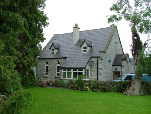 church/chapelchurch/chapel · 1.7 mi
 Riverstown Folk ParkHeritage attraction · 2.1 mi
 Giants GraveArchaeological place · 3.3 mi
 James MorrisonMemorial · 3.5 mi
 Field MapleField Maple · 4.0 mi
 European ashEuropean ash · 4.6 mi
 Barroe NorthMountain / peak · 5.2 mi