What is recorded here
No visible tunnel exists today. Only a shallow rectangular ditch marks where the roof may have fallen, leaving behind a ghost line instead of a chamber.
Within the SW quadrant of a rath (GA098-057----). A rectangular depression (L 10.7m; Wth 4.2m), aligned NW-SE, may indicate the line of a possible collapsed Man-made underground passage.
Compiled by: Galway Archaeological Survey, UCG
Date of upload: 23 January 2017
The monument record does not grant public access. Check the route and ask the landowner before entering private land.
- What survives
- Recorded monument
Places near here
 Enclosure in Carra (loughrea By.)Enclosure · 176 yd
 Field system in Carra (loughrea By.)Field system · 180 yd
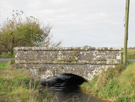 Carra Bridgebridge · 994 yd
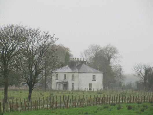 Rathglass Housecountry house · 1.2 mi
 Turoe StoneHeritage attraction · 2.8 mi
 Galboley Castle (in ruins)Castle, unclassified · 2.8 mi
 Drought Castle (in Ruins)Castle, tower house · 2.9 mi
 Dartfield Horse MuseumHeritage attraction · 2.9 mi
 Woodlawn WoodsForest · 4.4 mi
 Large-leaved LimeLarge-leaved Lime · 4.6 mi
 Bush IslandIslet · 5.6 mi
 Middle IslandIslet · 5.6 mi