What is recorded here
In the NW quadrant of a rath (SL025-054001-), c. 4m inside the bank. According to local information, a low sod-covered rise and an adjacent depression mark the blocked-up entrance to a Man-made underground passage. Stones protrude from the surface of the rise and the depression.
From the National Monuments Service (Archaeological Survey of Ireland) record SL025-054002
The monument record does not grant public access. Check the route and ask the landowner before entering private land.
- What survives
- Recorded monument
Places near here
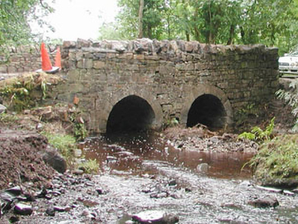 bridge1137 ydHachured (1838).Fairy fort / earthen ringfort · 1173 yd
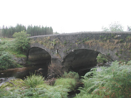 Carha BridgeBridge · 1734 yd
 KnocknasheeMountain / peak · 1.7 mi
 Cabragh Wedge TombArchaeological place · 2.1 miCloonaghMountain / peak · 3.3 miCastleCastle, unclassified · 3.4 miIndicatedCastle, motte · 3.7 mi
 European ash3.9 miThe Turf Stack RockNamed rock · 4.2 mi
 Elder4.5 miRinnatalleenHeadland · 6.5 mi
Pictures: National Inventory of Architectural Heritage; Digi-Telly, Wikimedia Commons · CC BY-SA 4.0; spezifischer Zeichner : J. E. Walkowitz, Wikimedia Commons · CC BY-SA 3.0; Willow, Wikimedia Commons · CC BY 2.5
More archaeology and monuments in County Sligo · All of County Sligo
What do you know about this place?