What is recorded here
No amount of walking across the flat grass would reveal the chamber hidden beneath Boherascrub West. Men built a rectangular stone box three metres long and roofed it with heavy lintels inside the levelled ringfort, leaving only a collapsed opening and a blocked creepway as clues. The earth swallowed the entrance, but it never erased the shape of the thought that made the hole.
In levelled ringfort (CO024-04901-). Investigated by Cleary (1987, 155-8), who described single rectangular stone-built chamber (L 3.4m; Wth 1.3m; H c. 1.3m; long axis E-W); roofed with lintels; present access through collapsed lintel. Infilled creepway (L 0.5m) at E end roofed by single slab. Possibly other chambers beyond this creepway. No visible surface trace.
The above description is derived from the published 'Archaeological Inventory of County Cork. Volume 4: North Cork' (Dublin: Stationery Office, 2000). In certain instances the entries have been revised and updated in the light of recent research.
Date of upload/revision: 14 January 2009
The monument record does not grant public access. Check the route and ask the landowner before entering private land.
- What survives
- Recorded monument
Places near here
 IndicatedHouse, vernacular house · 1113 yd
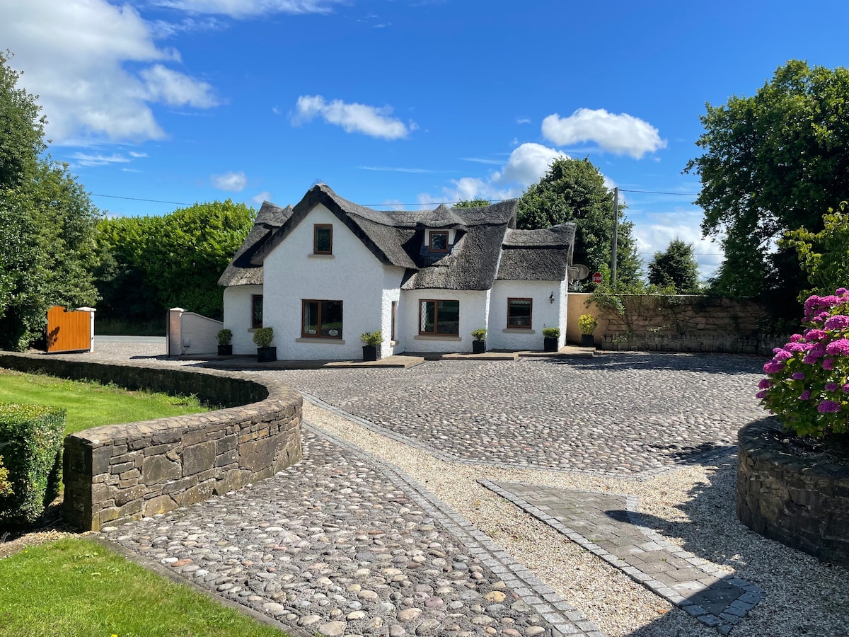 Fulacht fia in Grange West (orrery and Kilmore By.)Fulacht fia · 1182 yd
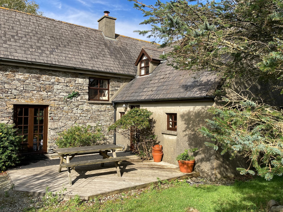 Enclosure in Boherascrub WestEnclosure · 1262 yd
 Bawn of Kilmaclenine (in Ruins)House, fortified house · 1267 yd
 Kilmaclenine CastleCastle · 1361 yd
 Kilmaclenine Church (in Ruins)Church · 1382 yd
 Charles BunworthMemorial · 2.0 mi
 Lady's WellSpring · 2.1 mi
 Buttevant Rail DisasterMemorial · 2.2 mi
 SycamoreSycamore · 2.3 mi
 Battle of LiscarrollMajor battlefield · 5.2 mi
 European YewEuropean Yew · 6.0 mi