What is recorded here
In undulating pasture. Discovered during pre-construction survey of Bruff-Mallow gas pipeline (Gowen 1988, 179); noticed as spread of burnt material (30m N-S; 50cm [sic] E-W) in ploughed field; denser concentration of material occurring towards W; E side of concentration defined by deposit of peaty brown soil. Following removal of topsoil, burnt material was noted spreading across 14m stripped width of pipeline route and extending 14.5m N-S along its length (pers. comm. M. Gowen).
The above description is derived from the published 'Archaeological Inventory of County Cork. Volume 4: North Cork' (Dublin: Stationery Office, 2000). In certain instances the entries have been revised and updated in the light of recent research.
Date of upload/revision: 14 January 2009
The monument record does not grant public access. Check the route and ask the landowner before entering private land.
- What survives
- Recorded monument
Places near here
 Enclosure in Grange East (orrery and Kilmore By.)Enclosure · 204 yd
 Enclosure in Boherascrub EastEnclosure · 350 yd
 IndicatedHouse, vernacular house · 1502 yd
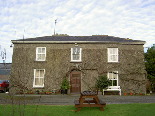 Glenville Househouse · 1.1 mi
 Charles BunworthMemorial · 1.3 mi
 Bawn of Kilmaclenine (in Ruins)House, fortified house · 1.4 mi
 Kilmaclenine CastleCastle · 1.4 mi
 Buttevant Rail DisasterMemorial · 1.7 mi
 SycamoreSycamore · 1.7 mi
 Lady's WellSpring · 2.5 mi
 Smith's WellSpring · 4.5 mi
 Doneraile HouseHeritage attraction · 4.8 mi
Other information
Photo: Credit not shown in the picture search · Rights wording not checked; contact us if this picture should be removed