What is recorded here
Located just SE of the summit of a small NW-SE drumlin ridge and extending from the centre to the bank of rath (MO013-024----) at NNW is a depression (dims 12.7m NNE-SSW; 3.1m E-W; max. D 1m) which could be a collapsed Man-made underground passage, although no stone is visible.
Compiled by: Michael Moore
Date of upload: 23 February, 2018
The monument record does not grant public access. Check the route and ask the landowner before entering private land.
- What survives
- Recorded monument
Places near here
 BlackrawFairy fort / earthen ringfort · 6 yd
 Giants GreveWedge tomb · 692 yd
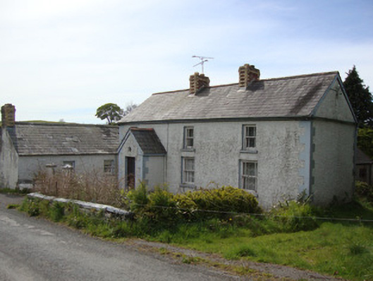 Brookside Cottagehouse · 1.3 mi
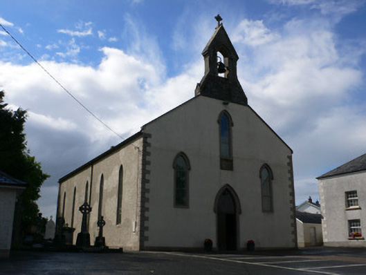 Saint Michael's Catholic Churchchurch/chapel · 1.5 mi
 Rossmore MausoleumHeritage attraction · 2.2 mi
 Dagda's CauldronHeritage attraction · 2.3 mi
 Hazel WoodWood · 3.1 mi
 Lisarrilly HillMountain / peak · 3.3 mi
 Roosky Castle (Site of)Castle, ringwork · 3.8 mi
 Bawn in Roosky (monaghan By., Monaghan Par.)Bawn · 4.6 mi
 Rossmore MonumentMemorial · 4.6 mi
 Tomb HillMountain / peak · 5.1 mi