What is recorded here
No trace is visible of this Man-made underground passage. Maghtochair (1935, 24) recorded that in 1867 it consisted of four chambers or sections separated by narrow creeps. Section 1 was entered by a circular aperture 3ft in diameter and closed by a flag. The 'Cavern' was 10ft long, 7ft broad and 5ft high. A creep 2ft high and 2ft wide cut through solid rock led to the second section. This was 30ft by 10 ft. by 6 ft. A second creep like the first leads to a third cave and so on to a fourth. Situated on the N side of the hill to the W of a small stream.
The above description was derived from the 'Archaeological Survey of County Donegal. A description of the field antiquities of the County from the Mesolithic Period to the 17th century.' Compiled by: Brian Lacey with Eamon Cody, Claire Cotter, Judy Cuppage, Noel Dunne, Vincent Hurley, Celie O'Rahilly, Paul Walsh and Seán Ó Nualláin (Lifford: Donegal County Council, 1983). In certain instances the entries have been revised and updated.
Date of upload: 22 September 2008
The monument record does not grant public access. Check the route and ask the landowner before entering private land.
- What survives
- Recorded monument
Places near here
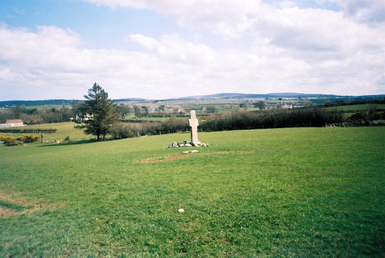 Stone CrossesCross, High cross · 475 yd
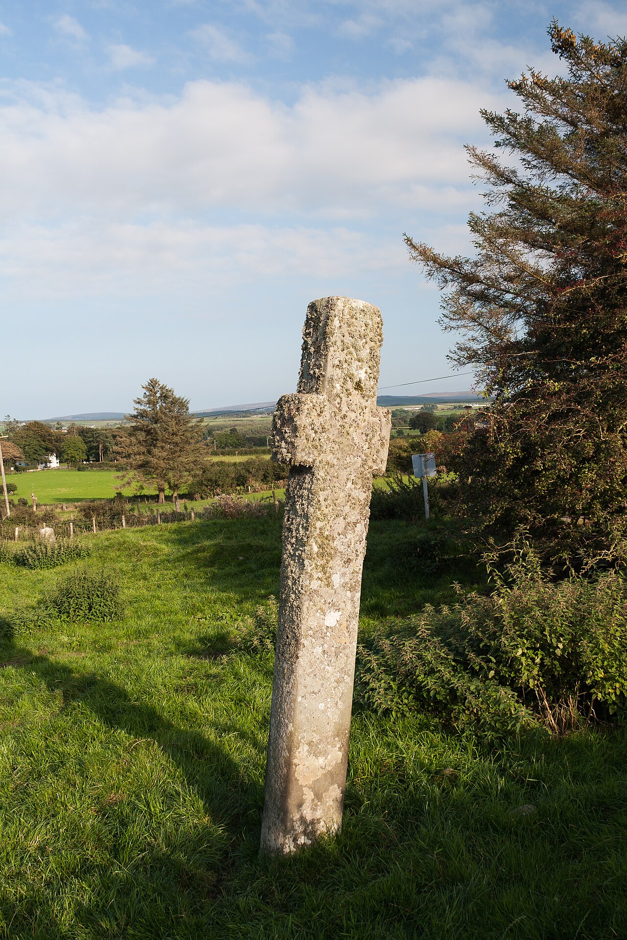 Carrowmore Ecclesiastical EnclosureEcclesiastical enclosure · 527 yd
 Gleneely Bridgebridge · 737 yd
 farm housefarm house · 990 yd
 CuldaffOfficial bathing water · 3.1 mi
 Carndonagh Early Church GraveyardGraveyard · 3.5 mi
 CastleCastle, unclassified · 3.6 mi
 CrockavishaneMountain / peak · 4.6 mi
 Tremone BayBeach / strand · 4.7 mi
 CroaghmoreMountain / peak · 4.7 mi
 Castle CaryCastle, unclassified · 6.5 mi
 Cooley CrossMemorial · 6.6 mi