What is recorded here
Located towards the bottom of a gentle NW-facing slope. An underground chamber was discovered c. 1955 in a field known as the ‘Blue Field’ (NMI file) but it was closed up before it could be recorded (Kelly 1977, 62). Archaeological testing (19E0476) by P. D. Sweetman c. 30m to the SW at the closest point produced no related material (excavations.ie 2019:767).
The above description is derived from the published 'Archaeological Inventory of County Meath' (Dublin: Stationery Office, 1987). In certain instances the entries have been revised and updated in the light of recent research.
Compiled by: Michael Moore
Amended: 24 March 2023
Kelly, E. P. 1977 A Man-made underground passage at Clongill, Co. Meath. Ríocht na Mídhe, 6, 3, 62-4.
The monument record does not grant public access. Check the route and ask the landowner before entering private land.
- What survives
- Recorded monument
Places near here
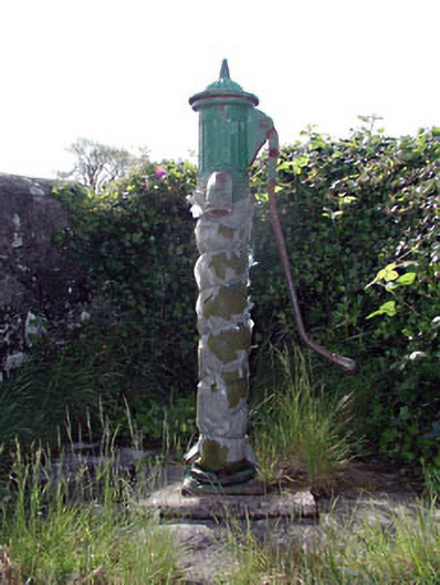 water pumpwater pump · 247 yd
 Mill Housemiller's house · 518 yd
 Enclosure in BalsawEnclosure · 1.1 mi
 CrossCross, Wayside cross · 1.5 mi
 Clongill CastleCastle, tower house · 1.8 mi
 Mullagha HillMountain / peak · 2.2 mi
 Sheridan's WoodWood · 2.4 mi
 Gibbstown House EntranceWood · 2.5 mi
 CastleCastle, tower house · 2.7 mi
 Simpson's MountainMountain / peak · 3.5 mi
 Nangle CourtMemorial · 4.6 mi
 Donaghmore Round TowerHeritage attraction · 4.6 mi