What is recorded here
Situated on the top of a prominent small hillock, surrounded by gently undulating grassland with extensive views from N-E-S. The site is located in a field annotated as 'Shankill' on the 1837 ed. OS -inch map. Depicted on the 1837 OS Fair Plan map as a circular-shaped enclosure annotated as ‘Track of fort’, and depicted on the 1837 ed. OS 6-inch map as a circular shaped enclosure. According to local information there was a stone covering a ‘cavity’ in the N quadrant of the ringfort (WM011-081----) and that there was a local belief that this land was owned by monks at one time (pers. comm. 18/10/1972). The 'cavity' possibly represents the existence of a possible Man-made underground passage inside the levelled ringfort.
Compiled by: Frank Coyne and Caimin O'Brien
Date of upload: 24 August 2017
The monument record does not grant public access. Check the route and ask the landowner before entering private land.
- What survives
- Recorded monument
Places near here
 Hachured, ShankillFairy fort / ringfort · 1 yd
 IndicatedMan-made underground passage · 451 yd
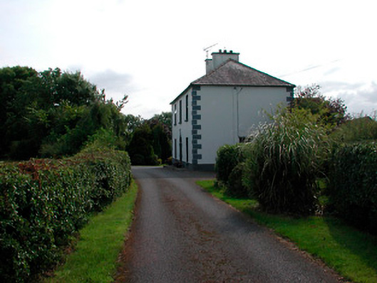 Ballysallagh Househouse · 672 yd
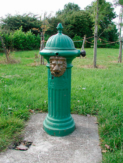 water pumpwater pump · 767 yd
 CastleCastle, unclassified · 1712 yd
 Site of CastleCastle, unclassified · 1747 yd
 Baronstown ForestWood · 1.5 mi
 Horse-chestnutHorse-chestnut · 1.6 mi
 Newcastle WoodsForest · 8.4 mi
 National Famine WayWalking route · 11 mi
 Enclosure in Ballysallagh (tuite)Enclosure · 824 yd
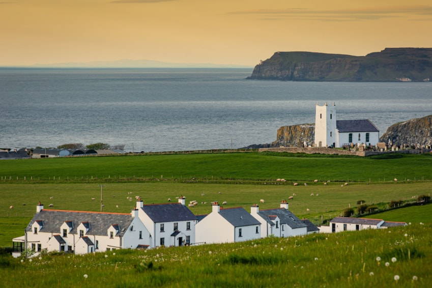 Fulacht fia in Ballysallagh (tuite)Fulacht fia · 879 yd