What is recorded here
Reported and investigated 1971; earlier report c. 1938 (UCC). Four earth-cut chambers, joined by creepways, and arranged in a cruciform plan. Entrance shaft (L 4m) from surface to chamber 1. Dimensions: Chambers 1, 2 and 3 (c. L 2m; Wth 1.5m; H 0.8m). Present access through collapsed roof chamber 4 which is much disturbed. Burial ground (CO147-015002-) c. 100m to E. (Twohig 1973, 36-9).
The above description is derived from the published 'Archaeological Inventory of County Cork. Volume 1: West Cork' (Dublin: Stationery Office, 1992). In certain instances the entries have been revised and updated in the light of recent research.
Date of upload/revision: 14 January 2009
The monument record does not grant public access. Check the route and ask the landowner before entering private land.
- What survives
- Recorded monument
Places near here
 Childrens Burial GdBurial ground · 37 yd
 Ballyrisode PointHeadland · 380 yd
 Ballyrisode WoodWood · 1306 yd
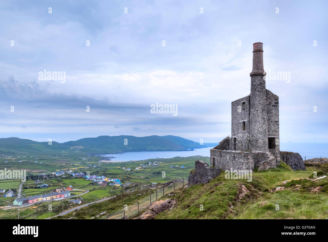 MineMine, copper · 1347 yd
 Wedge tomb in BallyrisodeWedge tomb · 1363 yd
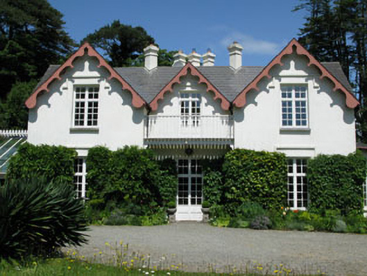 Ballyrisode Househouse · 1370 yd
 AltarViewpoint · 1.2 mi
 Dick's IslandIslet · 1.3 mi
 KnockaphucaMountain / peak · 1.6 mi
 Green IslandIslet · 1.7 mi
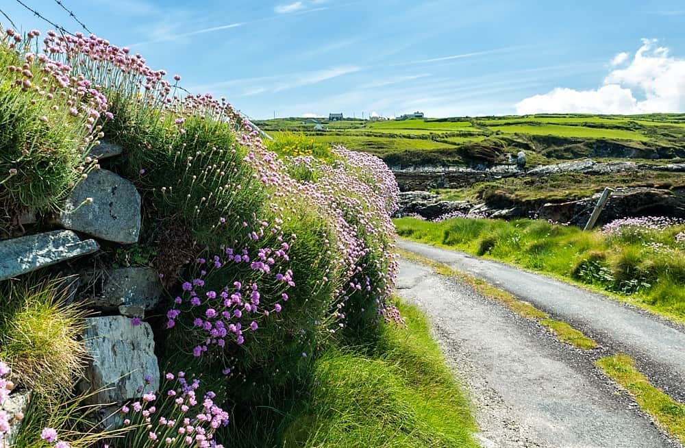 Castle (in Ruins)Castle, tower house · 1.8 mi
 Dunmanus Castle (in Ruins)Castle, tower house · 2.6 mi