What is recorded here
Clear water moved through the underground passage before the field appeared, feeding the slope and telling people when the land was ready to live with. The chamber may have been a well, a treasury or a warning place, but its function is no longer certain. The chamber is gone or buried now, leaving only the memory of hidden water beneath Ballyhoolahan West.
Bowman (1934, 494) recorded a Man-made underground passage in 'An Corcar - the sloping field' which adjoins ringfort (CO022-12901-). According to local tradition, 'a flat stone c. 4ft by 3ft and covered by c. 2 ins. of earth' marked the entrance to a Man-made underground passage (ibid.). Exact location not known. (McCarthy 1977, 333, Ballyhoulahan 2)
The above description is derived from the published 'Archaeological Inventory of County Cork. Volume 4: North Cork' (Dublin: Stationery Office, 2000). In certain instances the entries have been revised and updated in the light of recent research.
Date of upload/revision: 14 January 2009
The monument record does not grant public access. Check the route and ask the landowner before entering private land.
- What survives
- Recorded monument
Places near here
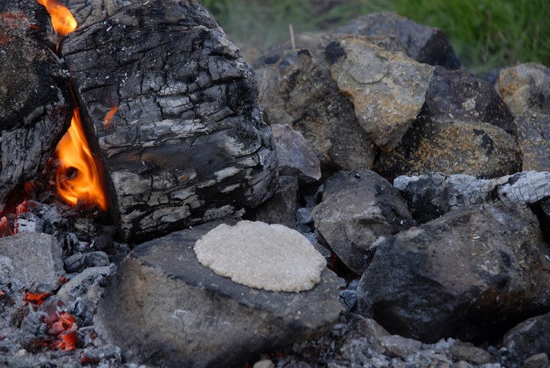 Fulacht FiadhFulacht fia · 1468 yd
 Man-made underground passage (Site of)Man-made underground passage · 1586 yd
 Wood ViewCountry house · 1.7 mi
 Castle McAuliffe (Site of)Castle, unclassified · 2.3 mi
 Drominagh Castle (Site of)Castle, unclassified · 2.3 mi
 Mine in Drominagh SouthMine · 2.6 mi
 Battle of Knocknaclashybattle · 5.2 mi
 Stanner's Glen, Priory WoodWood · 5.2 mi
 Kanturk CastleHeritage attraction · 5.6 mi
 St Fursey's WellSpring · 7.2 mi
 Burial ground in AssolasBurial ground · 8.1 mi
 European YewEuropean Yew · 8.3 mi