What is recorded here
Under the southwest quadrant of the Ballygirriha ringfort, a stone-lined passage waits in darkness. A plough broke the surface in 1988, revealing lintels that spanned a narrow throat before collapse swallowed the rest. Local memory claims an earlier collapse near the southeast exposed several rooms, suggesting the earth once hid a whole underground house. The stones still stand where they were set, patient beneath the grass, waiting for someone curious enough to look again.
In SW quadrant of ringfort (CO061-043001-). Discovered in 1988 during ploughing. Small opening revealed stone-lined passage roofed with stone lintels visible for 1.3m; much collapsed beyond this point. According to local information, earlier collapse (c. 1938) occurred in SE quadrant of ringfort revealing "several rooms".
The above description is derived from the published 'Archaeological Inventory of County Cork. Volume 3: Mid Cork' (Dublin: Stationery Office, 1997). In certain instances the entries have been revised and updated in the light of recent research.
Date of upload/revision: 14 January 2009
The monument record does not grant public access. Check the route and ask the landowner before entering private land.
- What survives
- Recorded monument
Places near here
 farm housefarm house · 1385 yd
 Lackabane LiosFairy fort / earthen ringfort · 1452 yd
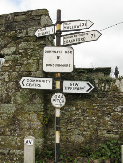 sign postsign post · 1512 yd
 Grave YardGraveyard · 1524 yd
 New TipperaryVisitor information · 1.2 mi
 Saint Bartholomew's WellSpring · 2.1 mi
 Ballyvodane Castle (in Ruins)Castle, unclassified · 2.3 mi
 Oldcastle WoodWood · 2.9 mi
 Carrignamuck Tower HouseCastle · 3.7 mi
 Knockduff Wind FarmVisitor information · 4.2 mi
 Ballyanly Inniscarra Slí na SláinteWalking route · 4.4 mi
 Lyradane MountainMountain / peak · 5.0 mi