What is recorded here
Ardnageehy West contained a ringfort with underground passages, but human activity levelled the fort and destroyed part of the passage before it could be studied. Power noted the loss in 1917, and no visible trace remains above ground. The passage has become absent rather than hidden, known only through the warning that it once existed and was taken apart.
In ringfort (CO053-001---). According to Power (1917, 7) this ringfort 'has been levelled and its Man-made underground passages partly destroyed'. No visible surface trace.
The above description is derived from the published 'Archaeological Inventory of County Cork. Volume 2: East and South Cork' (Dublin: Stationery Office, 1994). In certain instances the entries have been revised and updated in the light of recent research.
Date of upload/revision: 14 January 2009
The monument record does not grant public access. Check the route and ask the landowner before entering private land.
- What survives
- Recorded monument
Places near here
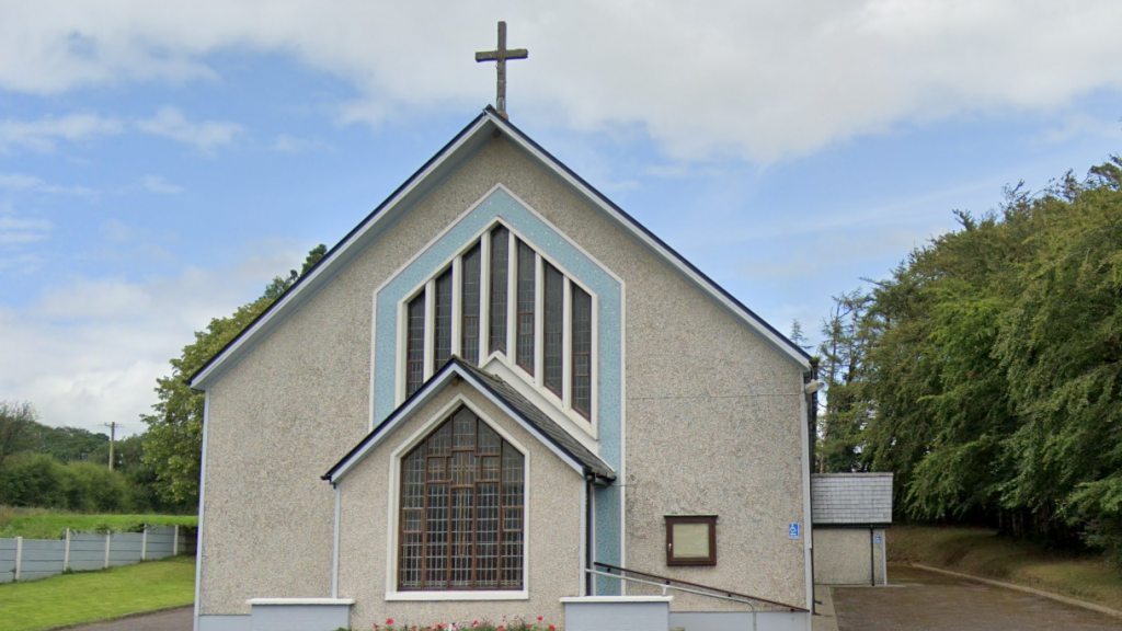 Church (in Ruins)Church · 270 yd
 Man-made underground passage in Ardnageehy EastMan-made underground passage · 381 yd
 Enclosure in Ballynaglogh EastEnclosure · 1.3 mi
 Trout Brook Bridgebridge · 1.5 mi
 Graveyard in Killuntin NorthGraveyard · 1.7 mi
 Graveyard in GlenvilleGraveyard · 2.1 mi
 Castle (Site of)Castle, unclassified · 2.5 mi
 Castle (in Ruins)Castle, tower house · 4.3 mi
 Moanbaun ForestForest · 4.4 mi
 Devonshire's HillMountain / peak · 4.5 mi
 Monananig WoodsWood · 4.9 mi
 Cork WalksVisitor information · 9.0 mi