What is recorded here
Situated in flat pasture and contained within a farmyard area. Discovered in 1992 when a hole appeared when part of the lintelled roof of a curving subterranean passage (L 2.8m) collapsed in. The passage (Wth 0.93m; max. H 1.19m) has a rounded end at SE and an earth-cut creepway (Wth 0.55m; H 0.42m) blocked with yellow clay at its W end. The walls of the passage comprise of very small stones (max. Wth 0.2m; max. H 0.1m) laid down horizontally which corbel in slightly at the top to support the lintels.
Compiled by: Matt Kelleher
Date of upload: 19 December 2013
The monument record does not grant public access. Check the route and ask the landowner before entering private land.
- What survives
- Recorded monument
Places near here
 Fulacht fia in Kilcooly NorthFulacht fia · 1580 yd
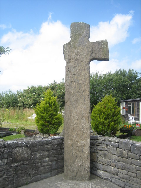 CrossCross, High cross · 1753 yd
 Church in Kilcooly NorthChurch · 1.3 mi
 Ballymacaquinn Castle (remains of)Castle · 1.3 mi
 Bushmount Housecountry house · 2.5 mi
 Castle (in ruins)Castle, unclassified · 2.6 mi
 Pierce's IslandIslet · 4.7 mi
 Kilflynn Nature ReserveNature reserve · 4.8 mi
 Our Lady's Holy WellSpring · 4.8 mi
 Inshaboy PointHeadland · 5.0 mi
 Tobar na MoltSpring · 5.0 mi
 Ardfert FriaryVisitor information · 5.2 mi