What is recorded here
The following description is derived from both the published 'Archaeological Inventory of County Louth' (Dublin: Stationery Office, 1986) and the 'Archaeological Survey of County Louth' (Dublin: Stationery Office, 1991). In certain instances the entries have been revised and updated in the light of recent research.
Date of upload/revision: 17 July 2007
Situated in the bank of a stream according to Tempest (CLAJ 1933, 96-7), in a field locally known as the 'Dhone Field'. The Man-made underground passage consists of a passage (L 5m, Wth 0.6-1.1m, H 1m) aligned NE-SW with a creep (L 1m, Wth 0.6m, H 0.7m) in mid-passage.
The monument record does not grant public access. Check the route and ask the landowner before entering private land.
- What survives
- Recorded monument
Places near here
 IndicatedEnclosure · 640 yd
 Enclosure in Commons (carlingford Par.)Enclosure · 875 yd
 Grange UpperMountain / peak · 1020 yd
 Saint James's Catholic Churchchurch/chapel · 1341 yd
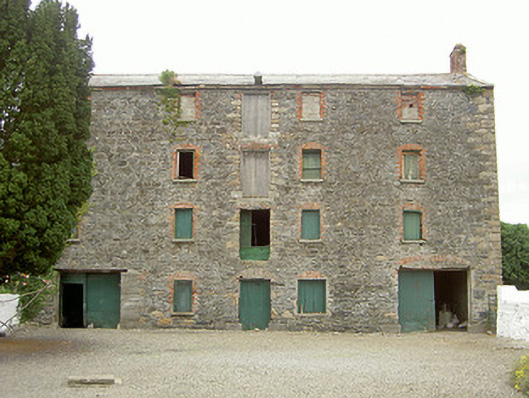 granarygranary · 1421 yd
 BarnavaveMountain / peak · 1535 yd
 The BushPicnic place · 1.3 mi
 Carlingford - Loop 1A- Commons LoopWalking route · 1.4 mi
 Cooley CastleCastle, tower house · 1.4 mi
 Graveyard in Liberties OF CarlingfordGraveyard · 1.5 mi
 Carlingford Heritage CentreVisitor information · 1.5 mi
 Town GateHeritage attraction · 1.6 mi