What is recorded here
You must crawl low through the narrow stone throat, pressing your body beneath capstones that still remember the weight of centuries. The passage cuts northwest to southeast inside the ringfort before collapsing into darkness, while a shallow rectangular depression in the centre waits like a forgotten chamber. People may have descended there to hide, pray or keep what did not wish to be seen.
In N half of ringfort (CO086-037001-). Investigated by McCarthy (1977,159-61) who records collapsed entrance area and stone-built passage. Entrance pit inside N bank drops steeply over distance of 1m to low lintelled ope into passage at S end (Wth 0.65m; H 0.35m). Passage partly explored; roofed with capstones, orientated NW-SE; collapsed end curves southwards. Rectangular depression in centre of fort (L 4.5m; Wth 3.9m; D 0.3m) may indicate chamber formerly reached from blocked S passage. McCarthy (ibid.) suggests entrance area collapsed during tillage, subsequently interfered with.
The above description is derived from the published 'Archaeological Inventory of County Cork. Volume 2: East and South Cork' (Dublin: Stationery Office, 1994). In certain instances the entries have been revised and updated in the light of recent research.
Date of upload/revision: 14 January 2009
The monument record does not grant public access. Check the route and ask the landowner before entering private land.
- What survives
- Recorded monument
Places near here
 RathdermotFairy fort / earthen ringfort · 14 yd
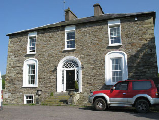 Ballygarvan Househouse · 866 yd
 Abbey (in Ruins)Church · 1075 yd
 Manx2 Flight 7100aviation accident · 1258 yd
 Moated site in AdamstownMoated site · 1755 yd
 Meadstown Castle (Site of)Castle, unclassified · 2.1 mi
 viaduct city viewViewpoint · 2.7 mi
 Lavitts QuayMemorial · 4.8 mi
 Cork WalksVisitor information · 5.0 mi
 Summerhouse WoodForest · 18 mi
 Mashanaglass Castle (in Ruins)Castle, tower house · 19 mi
 Ummera WoodWood · 19 mi