
What is recorded here
On NE-facing slope, c. 1.5km NW of Mallow; site now occupied by Mallow County Hospital. Indicated on 1842 OS 6-inch map as complex with typical Union Workhouse layout: gatehouse and H-plan block within rectangular enclosure (c. 120m SW-NE; c. 70m NW-SE) (see McCullough and Mulvin 1987, 114-5), and named 'Union Work House'. Much of this plan survived to 1935 OS 6-inch map but a large part of it demolished in 1950s and replaced by large 2/3-storey block. Only surviving section of original plan is SW arm of H: long 2-storey gable-ended structure with irregular fenestration. Stairs rise along both end walls to 1st-floor doors. To rear (SW) is only surviving portion of boundary wall. Workhouse first opened in 1842 (Mallow Macra na Feirme 1985). Immediately NW of complex is 2-storey 'Fever Hospital' (long axis NW-SE); this was opened in 1847 (ibid.). It is 9-bays long; gable-ended; central bluntly-pointed door, one-storey outbuildings to rear. This replaced earlier Fever Hospital (14787) on opposing hill c. 800m to SE.
Along SE side of complex is long 2-storey range (long axis NE-SW), over basement, 14-bays in length; random-rubble limestone construction; flat-arched window opes; mid-/late-19th century in appearance.
The above description is derived from the published 'Archaeological Inventory of County Cork. Volume 4: North Cork' (Dublin: Stationery Office, 2000). In certain instances the entries have been revised and updated in the light of recent research.
Date of upload/revision: 14 January 2009
The monument record does not grant public access. Check the route and ask the landowner before entering private land.
- What survives
- Recorded monument
Places near here
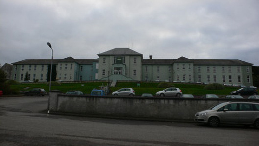 Mallow General Hospitalworkhouse · 31 yd
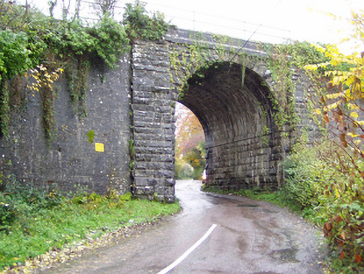 bridgebridge · 274 yd
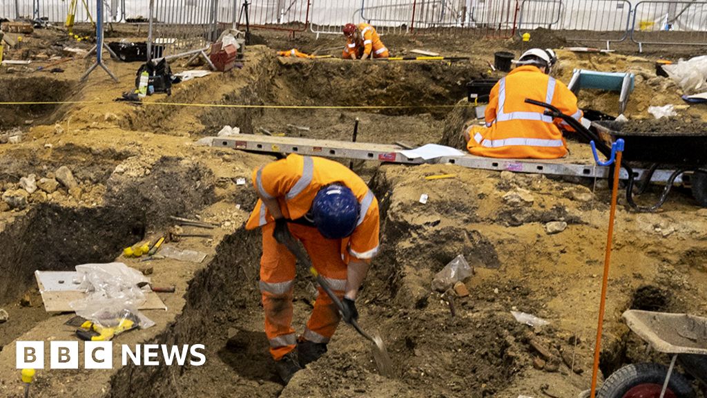 ExcavationExcavation, miscellaneous · 457 yd
 Site of R C ChapelChurch · 1.1 mi
 Castle (Site of )Castle, unclassified · 1.1 mi
 In loving memory of Elvis O'DonoghueMemorial · 1.3 mi
 Mallow River TrailVisitor information · 1.4 mi
 Mallow Castle HouseCastle · 1.6 mi
 Blackwater WayWalking route · 1.8 mi
 Mallow Town Park - Maple WoodsForest · 1.9 mi
 Lover' LeapCliff · 2.1 mi
 Lover's LeapCliff · 2.2 mi
Other information
Photo: Credit not shown in the picture search · Rights wording not checked; contact us if this picture should be removed