
What is recorded here
Built in the sand dunes on the S side of the estuary of the River Boyne. This medieval tower was built to provide advance notice of ships approaching the harbour of Drogheda, but there are no historical references to it. It is known as the ‘Maiden Tower’, probably because it was built during the reign of Queen…
Read the whole record
From the National Monuments Service (Archaeological Survey of Ireland) record ME021-004
Places near here
Photo credits
- National Inventory of Architectural Heritage
- Offdaw, Wikimedia Commons · CC BY-SA 4.0
- rmc media, credited by Meath Chronicle, www.meathchronicle.ie
- Maker not stated on source page, www.pinterest.com
- Kieran Campbell, Geograph · CC BY-SA 2.0
- Karora, Wikimedia Commons · CC BY 4.0
- Maker not stated on source page, ru.pinterest.com
 Drogheda North LighthouseLighthouse · 275 yd
Explorer Tom Drogheda North Lighthouse is listening to the sea whispering secrets through its walls. It stands guard with a straight…
 Drogheda West LighthouseLighthouse · 481 yd
Explorer Tom Drogheda West Lighthouse is locked in a bitter feud with the next village over who has the better sea view. It’s just a…
 Drogheda East LighthouseLighthouse · 495 yd
Explorer Tom Drogheda East Lighthouse is standing there looking all heroic and coastal despite being inland-ish. It’s part of that…
 SunriseLighthouse keeper's house · 532 yd
Explorer Tom Sunrise in Mornington, County Meath thinks the road leading to it is a bit of a letdown for such a grand lighthouse…
 Páirc Réalt Na Mara, Eastern Gaels gacGAA ground · 1255 yd
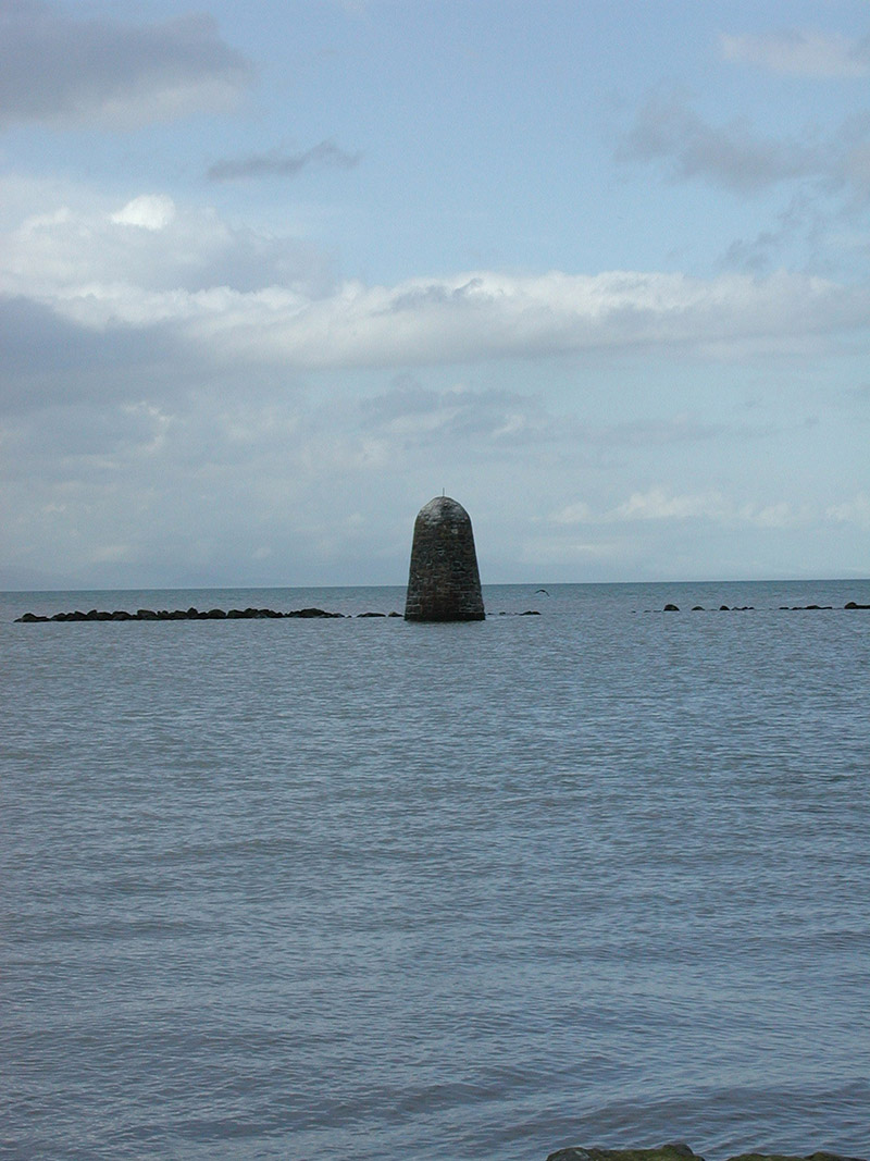 beacon1.0 mi
Explorer Tom Beacon in Mornington has been hiding a scandal about a smuggled boat for centuries, or at least that’s what the…
 CastleCastle, unclassified · 1.2 mi
Explorer Tom Castle at Baltray is basically a map dot that nobody can actually find, which is infuriating for the Vikings who got…
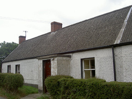 Lane HouseHouse · 1.3 mi
Explorer Tom Lane House in Baltray is made of mud walls, meaning a giant might have thrown it there as a tantrum projectile. It’s…
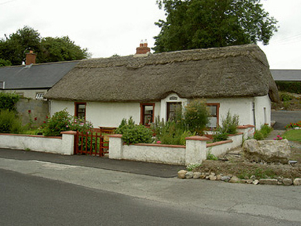 Tuí Naomh ÁineHouse · 1.3 mi
Explorer Tom Tuí Naomh Áine is in a constant drama with the nearest tree over who has better thatch. The scalloped ridge is…
 Standing StonesStanding stone, pair · 1.4 mi
Explorer Tom Standing Stones in Baltray hear every whisper between them, including the one about whether the third stone is actually…
 Beaulieu House and GardensHeritage attraction · 1.8 mi
Explorer Tom Beaulieu House looks across the Boyne near Drogheda, its red-brick front and walled garden giving the impression that…
 TombTomb, effigial · 1.8 mi
Explorer Tom Tomb in Beaulieu has an escape plan that involves rolling over and dying again. This skeletonised effigy is lying flat…
More archaeology and monuments in County Meath · All of County Meath

What do you know about this place?Tap to add a comment or ask a question