
What is recorded here
The official Northern Ireland record identifies this as a Grade B listed building. Current recorded use: Church.
The official record and map point do not grant access. Many historic buildings are privately owned; view them only from public ground unless the owner allows entry.
Places near here
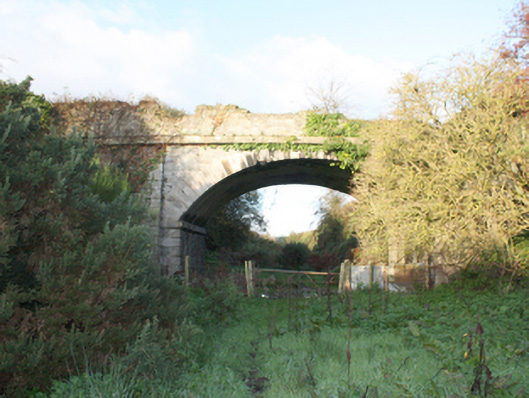 bridgebridge · 1.1 mi
 Gortmonly HillMountain / peak · 1.5 mi
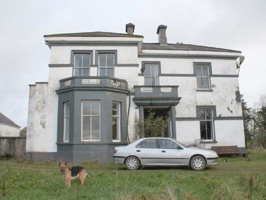 White Househouse · 1.5 mi
 CastleCastle, unclassified · 1.9 mi
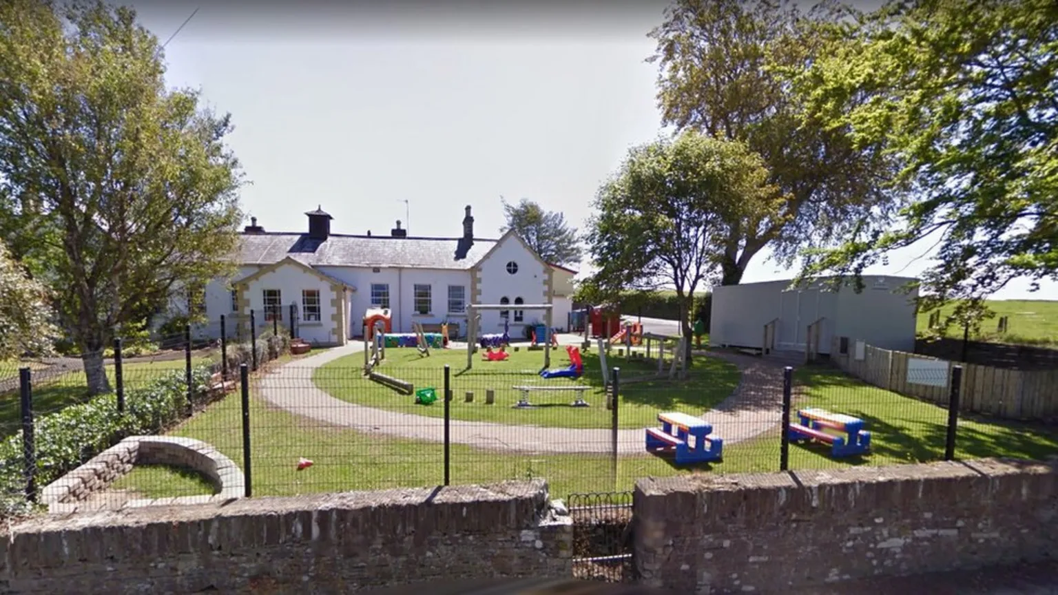 ENCLOSURE in BallougryENCLOSURE · 2.2 mi
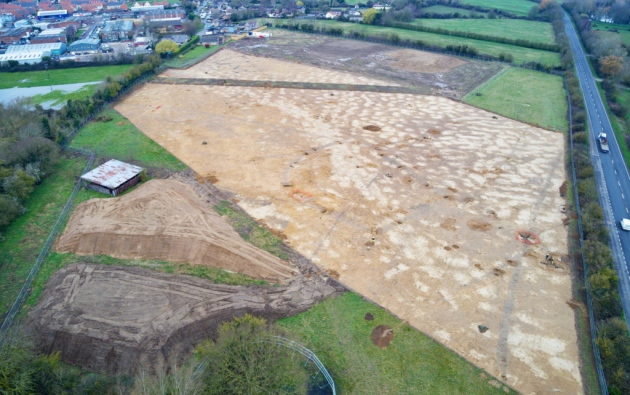 Prehistoric occupation site (comprising burnt mounds, burnt spreads, timber remains and enclosure) in SollusPrehistoric occupation site (comprising burnt mounds, burnt spreads, timber remains and enclosure) · 2.2 mi
 Curryfree HillMountain / peak · 2.8 mi
 Prehen WoodsForest · 3.3 mi
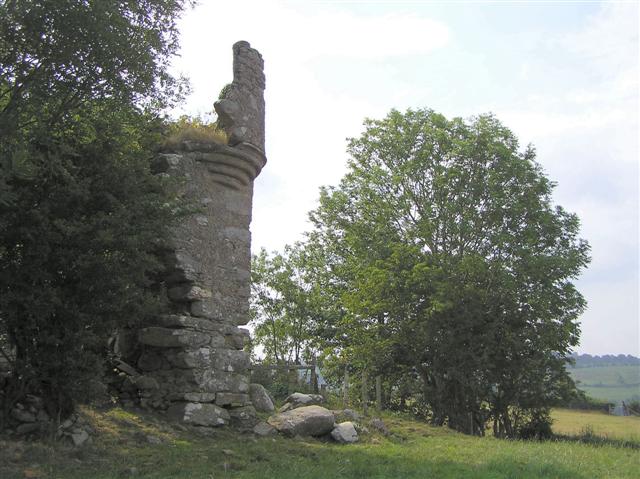 PLANTATION CASTLE: MOUNT CASTLE in MountcastlePLANTATION CASTLE: MOUNT CASTLE · 3.5 mi
 Foyle Valley Railway MuseumMuseum · 4.4 mi
 Double BastionViewpoint · 4.4 mi
 Church BastionViewpoint · 4.5 mi
Other information
Photo: Eric Jones · CC BY-SA 2.0