
What is recorded here
Lurga Point is recorded as a headland in County Clare. Its open map record supplies this location and any linked names or public references.
Lurga Point is a headland composed primarily of Carboniferous limestone, formed around 340 to 320 million years ago through the accumulation of marine sediments. It is notable for its coastal erosion features and its role in the geological diversity of County Clare's coastline.
Places near here
 Seafield North BeachBeach / strand · 683 yd
 White Point FortFairy fort / earthen ringfort · 1244 yd
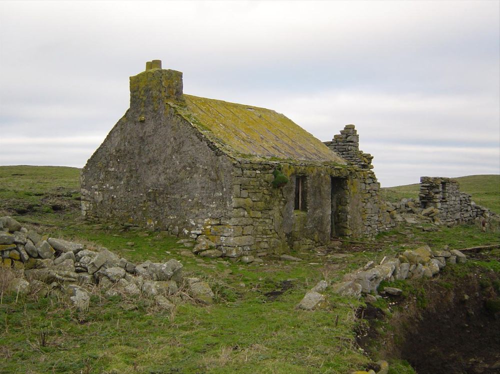 IndicatedPromontory fort, coastal · 1553 yd
 Tromra CastleCastle, tower house · 1743 yd
 Mutton IslandIsland · 1.3 mi
 Catholic Church of Our Lady Star of the Seachurch/chapel · 1.4 mi
 Kilmurry Church (in ruins)Church · 1.6 mi
 Emlagh PointHeadland · 1.8 mi
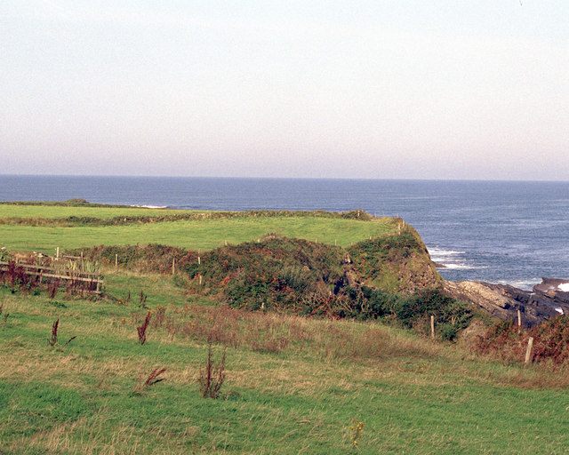 Caherrush Castle (in Ruins)Castle, tower house · 2.3 mi
 Spanish Point BeachBeach / strand · 3.2 mi
 Spanish PointHeadland · 3.3 mi
 Doughmore BeachBeach / strand · 3.6 mi
Other information
Photo: Gordon Hatton · CC BY-SA 2.0