
What is recorded here
In a fairly flat area in pasture c. 350m E of the seashore. Hachured on the 1840 OS 6-inch map and named ‘White Point Fort’. A cropmark of a large circular enclosure at the same location is visible on OSi MapGenie 2013-2018 orthophotography as an arc from S to NE (chord 90m). Reported by Ed O’Donovan in 2020.
Compiled by: Mary Tunney
Date of upload: 26 November 2025
White Point Fort, Tromracastle is a likely early-medieval ringfort, indicated by its circular enclosure and hachured representation on the 1840 Ordnance Survey map. Though no specific folklore is recorded, its coastal location suggests it may have been a defensive or agricultural site used by early Irish settlers.
The monument record does not grant public access. Check the route and ask the landowner before entering private land.
- What survives
- Recorded monument
Places near here
 Tromra CastleCastle, tower house · 679 yd
 Seafield North BeachBeach / strand · 914 yd
 Lurga PointHeadland · 1244 yd
 Kilmurry Church (in ruins)Church · 1.1 mi
 LisnacloonaghFairy fort / earthen ringfort · 1.2 mi
 Catholic Church of Our Lady Star of the Seachurch/chapel · 1.3 mi
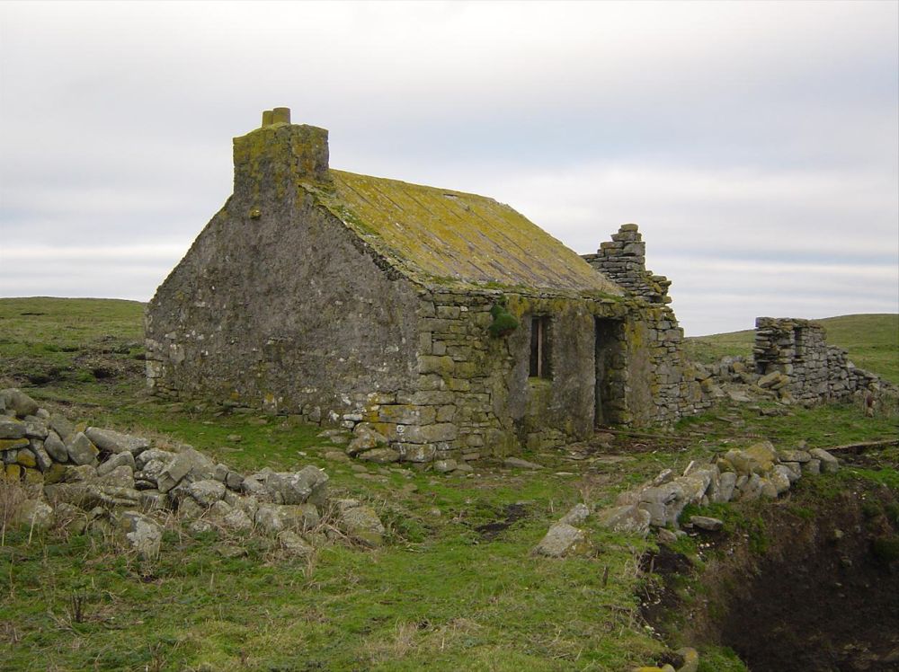 IndicatedPromontory fort, coastal · 1.5 mi
 Emlagh PointHeadland · 1.9 mi
 Mutton IslandIsland · 1.9 mi
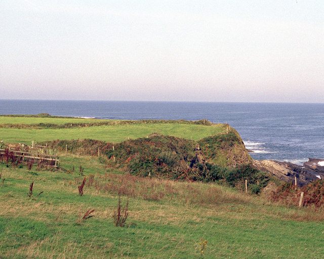 Caherrush Castle (in Ruins)Castle, tower house · 2.5 mi
 Doughmore BeachBeach / strand · 3.1 mi
 Spanish Point BeachBeach / strand · 3.3 mi
Other information
Photo: Credit not shown in the picture search · Rights wording not checked; contact us if this picture should be removed