What is recorded here
Map note: Luing, North Ardluing, a farmstead, is mapped near Blackmill Bay, Argyll and Bute, Scotland. The map has the location of the mystery, though not all its answers.
Places near here
Photo credits
- Patrick Mackie, Wikimedia Commons · CC BY-SA 2.0
- M J Richardson, Wikimedia Commons · CC BY-SA 2.0
- Isabella Davis, Wikimedia Commons · CC BY-SA 2.0
- Rob Farrow, Wikimedia Commons · CC BY-SA 2.0
- Gordon Brown, Wikimedia Commons · CC BY-SA 2.0
- Oliver Dixon, Wikimedia Commons · CC BY-SA 2.0
- Maker not stated on source page, www.alamy.com
- Mark Goddard, Wikimedia Commons · CC BY-SA 2.0
- John Winterbottom, Wikimedia Commons · CC BY-SA 2.0
- Nicola Lang, Wikimedia Commons · CC BY-SA 2.0
 Aird LuingMountain / peak · 965 yd
 Luing, Black Mill BayEnclosure (post Medieval), Hut (post Medieval) · 1711 yd
 Luing, Blackmill Bay, GeneralGeneral View (20th Century) - (21st Century) · 1727 yd
 Luing, Toberonochy, HarbourPier (19th Century), Quay (19th Century) · 1.0 mi
 Luing, Blackmillbay, Pier, ShelterShelter (19th Century) · 1.0 mi
 Luing, Blackmillbay, PierPier (19th Century) - (20th Century) · 1.0 mi
 Nancy: Black Mill Bay, Luing, Sound of LuingSloop (19th Century) · 1.1 mi
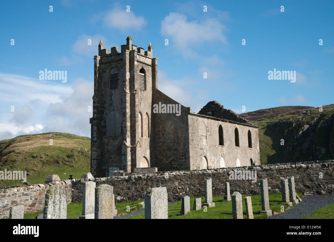 Kilchattan Old Parish ChurchRuins · 1.2 mi
 Poll na h-EalaidhBay · 1.5 mi
 Druim na Dubh GhlaicMountain / peak · 1.6 mi
 Eilean nan CeannIslet · 2.2 mi
 Sgeir ChreagagIslet · 2.4 mi
More historic places in Argyll and Bute · All of Argyll and Bute

What do you know about this place?Tap to add a comment or ask a question