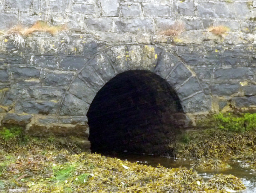
What is recorded here
Single-arch road bridge over stream, extant 1838. Pat repointed snecked rock faced limestone battered walls with rounded coping to parapets. Single round arch with repointed rock faced limestone ashlar voussoirs. Sited spanning stream.
A culvert-like bridge representing an integral component of the civil engineering heritage of the outskirts of Westport with the architectural value of the composition suggested not only by the rock faced surface finish demonstrating good quality workmanship, but also by the elegant "sweep" of the arch making a pleasing visual statement at a crossing over a minor stream once channelled as a mill race powering the nearby Quay Flour Mills (extant 1838; disused 1897).
This does not grant access. Most recorded buildings are privately owned; view them only from public ground unless the owner allows entry.
Places near here
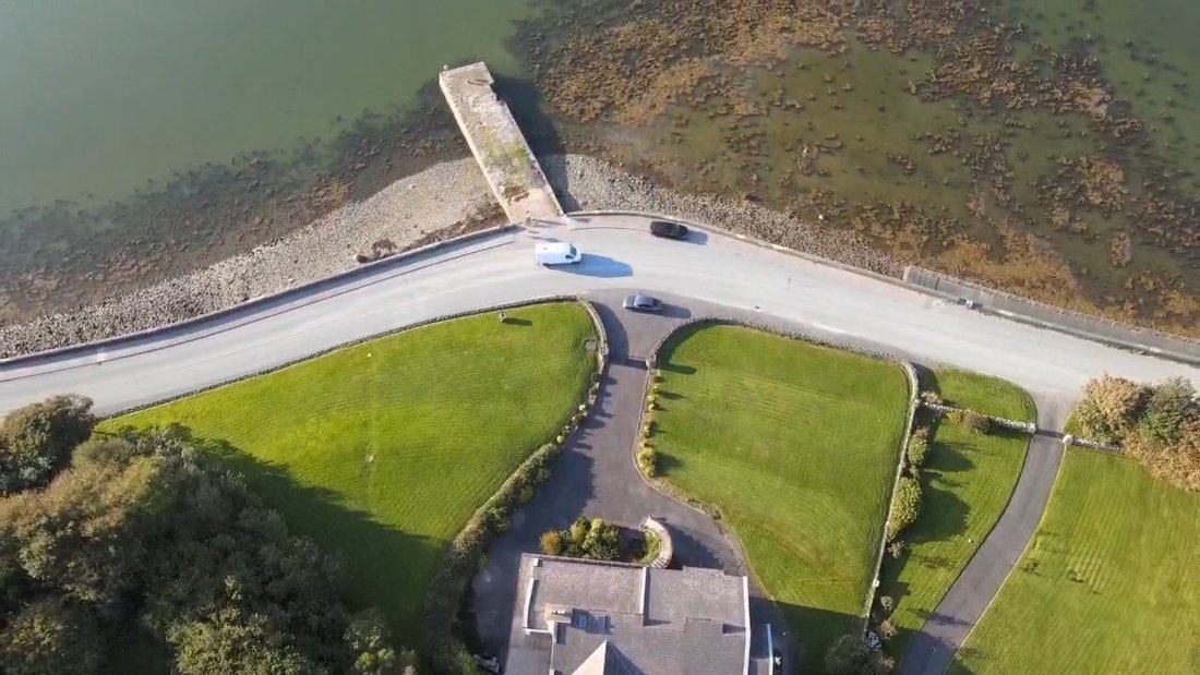
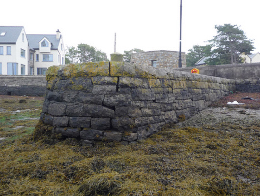 pier/jettypier/jetty · 18 yd
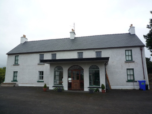 Rossbeg Househouse · 207 yd
 Clew Bay Heritage CentreMuseum · 600 yd
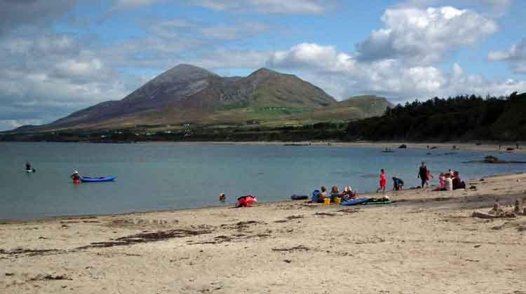 Garvillaun PointHeadland · 714 yd
 Enclosure in Westport Demesne (burrishoole By.)Enclosure · 743 yd
 Pirate QueenHeritage attraction · 1075 yd
 IndicatedEnclosure · 1112 yd
 BaldcypressBaldcypress · 1201 yd
 Barrett's HillMountain / peak · 1384 yd
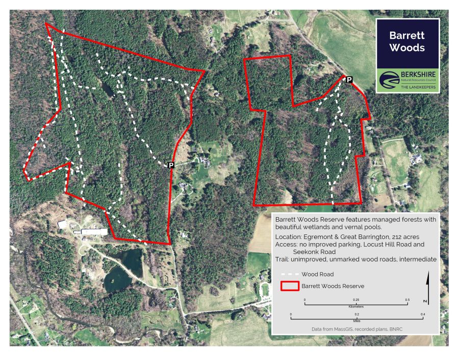 Barrett's WoodWood · 1437 yd
 Site of Bawn CastleCastle, unclassified · 1.6 mi
 CastleCastle, unclassified · 1.6 mi
Other information
Photo: National Inventory of Architectural Heritage · Website use allowed for educational or private purposes with source credit