What is recorded here
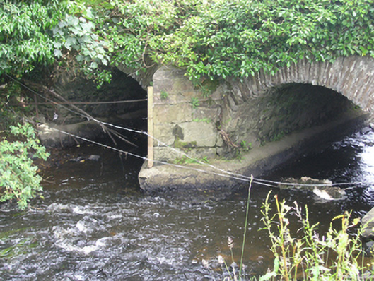
Double-arch stone slightly humped road bridge, built c.1750, curved in plan and spanning Annalee River. Cut-stone saddle copings to parapets. Parapet walls, spandrels, and wing walls of roughly coursed stone rubble with roughly cut voussoirs to elliptical arch rings. Rubble-stone soffits to barrels. Cut masonry blocks forming V-cutwaters with cap stone. Recent concrete casing to piers, cutwaters, and abutments.
The bridge forms an elegant curve over the river in line with the approach roads. The roughly dressed stone gives it a rustic expression which contrasts with the cutwaters and coping stones. The bridge displays a mix of stone construction types and with its unusual plan, adds considerably to the civil engineering heritage of the county.
From the Buildings of Ireland (National Inventory of Architectural Heritage) record 40402310
This does not grant access. Most recorded buildings are privately owned; view them only from public ground unless the owner allows entry.
Places near here
Photo credits
- National Inventory of Architectural Heritage
- Eric Jones, Geograph · Creative Commons Attribution-ShareAlike 2.0
- Qbit warrior, Wikimedia Commons · CC BY-SA 4.0
- Oliver Dixon, Geograph · CC BY-SA 2.0
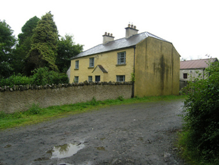 Knocknalosset HouseFarm house · 523 ydDrumbinnisMountain / peak · 1238 yd
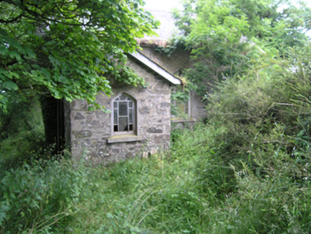 church/chapel1521 ydLisdoagh Wet WoodlandWood · 1.3 miDrumlumman Wet WoodlandWood · 1.4 mi
 Grave YardGraveyard · 1.4 miSmall IslandIsland · 1.7 mi
 Graveyard in Drumgoon (clankee By.)Graveyard · 2.3 miDrumeagueMountain / peak · 2.3 mi
 Giant GraveCourt tomb · 3.2 mi
 Bush IslandIslet · 4.6 mi
 Welcome to Bailieborough DemesneVisitor information · 5.1 mi
More historic places in County Cavan · All of County Cavan
What do you know about this place?