What is recorded here
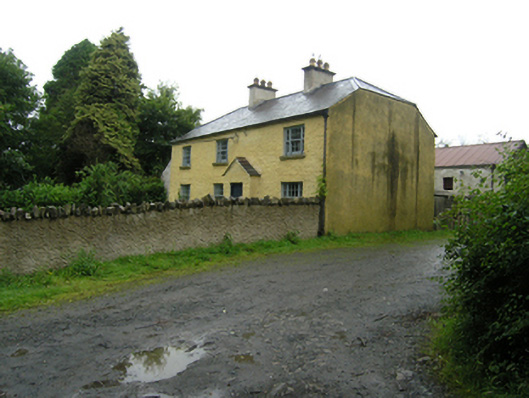
Detached four-bay two-storey farm house, built c.1780, with gabled windreak projection to front entrance and gabled porch to rear. Half-hipped slate roof, rendered stacks with copings and clay chimney pots, cast-iron rainwater goods, pitched slate roofs to porches. Roughcast rendered walls. Timber Wyatt windows to both floors with centre sashes of six-over-six panes flanked by two-over-two sashes. Small two-over-two sliding sash windows to upper floor at rear and to front of porch, six-over-six sash windows at ground floor. Timber sheeted doors. Enclosed by roughcast rendered wall having Scotch coping, with square-profile rendered piers and entablature over timber sheeted door. Detached two-storey barn and stable block parallel to house having corrugated iron roof, roughcast rendered walls, timber sheeted doors, and louvred windows to upper level. External stair to loft door. Forged metal gates at either end of farm yard, tall square-profile rendered pier walls at road having rounded render copings. House set parallel to road with front garden, with gable to side farm-access road. Garden and farmyard entered off side road.
A well composed house with carefully arranged garden to front and equally well planned stable and barn parallel to the house. The half-hipped roof, tall chimneystacks, Wyatt windows, and garden to front introduce a level of formality to this house which is relieved by the asymmetrical position of the entrance, giving it an appealing picturesque character. It is an excellent example of a type that was once found throughout the county but is now sadly increasingly rare.
From the Buildings of Ireland (National Inventory of Architectural Heritage) record 40402311
This does not grant access. Most recorded buildings are privately owned; view them only from public ground unless the owner allows entry.
Places near here
Photo credits
- National Inventory of Architectural Heritage
- Eric Jones, Geograph · Creative Commons Attribution-ShareAlike 2.0
- Qbit warrior, Wikimedia Commons · CC BY-SA 4.0
- Oliver Dixon, Geograph · CC BY-SA 2.0
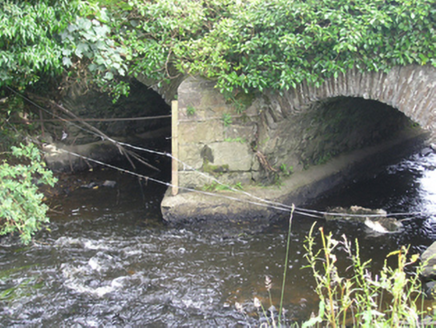 Lucas's BridgeBridge · 523 yd
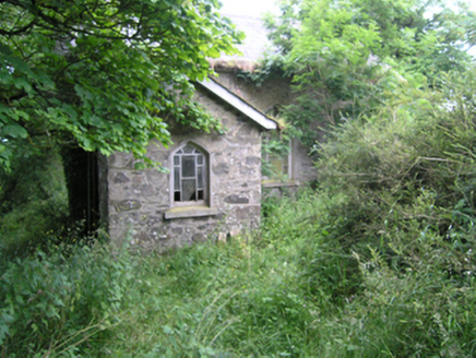 church/chapel999 ydDrumbinnisMountain / peak · 1298 yd
 Grave YardGraveyard · 1.2 miKnockbride Wet WoodlandWood · 1.3 miLisdoagh Wet WoodlandWood · 1.4 miSmall IslandIsland · 1.4 miDrumeagueMountain / peak · 2.1 mi
 Graveyard in Drumgoon (clankee By.)Graveyard · 2.6 mi
 Giant GraveCourt tomb · 3.4 mi
 Bush IslandIslet · 4.3 mi
 Welcome to Bailieborough DemesneVisitor information · 4.8 mi
More historic places in County Cavan · All of County Cavan
What do you know about this place?