
What is recorded here
Overgrown ruin of 2-storey mid-19th-century house. Indicated as rectangular structure (long axis NE-SW) named 'Fort Henry' on 1842 OS 6-inch map; different layout shown on 1906 OS 6-inch map and name changed to 'Loughlea'. Rendered with plastered quoins. Entrance front (SW) of 3 bays, central porch entrance. Sash windows with plastered surrounds. Lean-to stairway projection to rear. Gable-ended with chimneys atop gables. Farm buildings to rear.
The above description is derived from the published 'Archaeological Inventory of County Cork. Volume 4: North Cork' (Dublin: Stationery Office, 2000). In certain instances the entries have been revised and updated in the light of recent research.
Date of upload/revision: 14 January 2009
The monument record does not grant public access. Check the route and ask the landowner before entering private land.
- What survives
- Recorded monument
Places near here
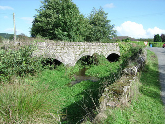 Ballyhoura Bridgebridge · 612 yd
 Lisheen a ThouraFairy fort / earthen ringfort · 761 yd
 IndicatedEnclosure · 876 yd
 Ballyhoura Lodgehouse · 1087 yd
 Rogan's Rock CovertWood · 1230 yd
 Ballinguile Castle (in Ruins)Castle, tower house · 1.3 mi
 Kilcolman CastleCastle · 1.7 mi
 David HurleyMemorial · 2.5 mi
 SycamoreSycamore · 2.5 mi
 Buttevant Rail DisasterMemorial · 2.5 mi
 Smith's WellSpring · 3.7 mi
 Doneraile HouseHeritage attraction · 4.4 mi
Other information
Photo: Credit not shown in the picture search · Rights wording not checked; contact us if this picture should be removed