What is recorded here
Lougher Fort is an oval earthen enclosure in County Clare, Ireland, still standing where several old field boundaries converge. Dense vegetation now hides much of its interior, but a narrow gap and remaining bank mark the shape first drawn on the 1840 OS map. It may have been a boundary, a shrine, a farmhold or a gathering place, yet the land still holds the outline of that forgotten choice.
On a low rise with land falling to W and NW, in a roughly rectangular, ungrazed area of pasture where several field boundaries converge. Depicted on the 1840 edition of the OS 6-inch map as an oval area (c. 42m NW-SE; c. 38m NE-SW) and named ‘Lougher Fort’. It is incorrectly named ‘site of’ on the OS 25-inch map and 1921 edition of the OS 6-inch map. This monument is traceable as a similar-sized oval area, although it is not possible to measure due to impenetrable overgrowth, primarily across the NE half. It is defined by the remains of an earthen bank (int. H 0.45m; ext. H 0.8m; Wth at top 1m; overall Wth 3.85m) where seen SE-SW and is defined by a scarp (Wth 2m; H 0.9m), where visible SW-W. The enclosing elements are obscured by dense vegetation W-SE. A narrow gap (Wth 1.8m) is evident at SSW. The interior is largely obscured by dense vegetation, except a small portion in the SW sector which extends as a narrow, clear path into the centre. There is no obvious presence of a fosse. The remains of an old field boundary (long axis NW-SE) flank the monument, c. 3.25m to SW and a similar field boundary (long axis c. NE-SW) is seen to the immediate NW.
The following images have been uploaded:
CL035-063----_01.jpg From SW. General view of monument.
CL035-063----_02.jpg From W. Cross-sectional view of bank at S.
CL035-063----_03.jpg From S. Cross-sectional view of scarp at W.
Compiled by: Mary Tunney, Alison McQueen and Vera Rahilly
Date of upload: 9 January 2019
Lougher Fort, Ballyblood is a likely early-medieval ringfort, indicated by its position on a low rise and its depiction on the 1840 OS map. Local tradition may associate it with fairy lore, as is common with such sites, though specific folklore is not recorded.
The monument record does not grant public access. Check the route and ask the landowner before entering private land.
- What survives
- Recorded monument
Places near here
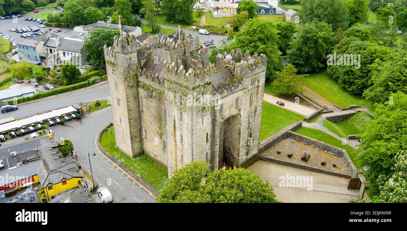 Liskenny FortFairy fort / earthen ringfort · 574 yd
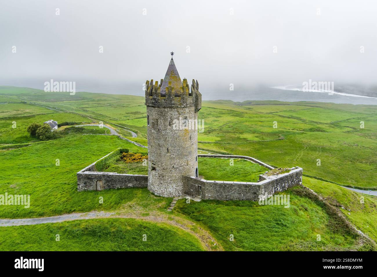 Enclosure in Rannagh (tulla Upper By.)Enclosure · 809 yd
 Lissofin Castle (in ruins)Castle, unclassified · 1754 yd
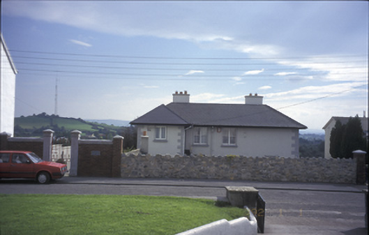 Tulla Househouse · 1.2 mi
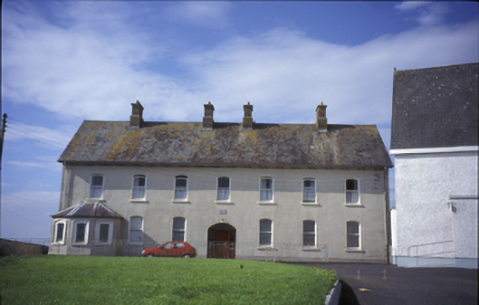 Cnoc na Gaoitheconvent/nunnery · 1.2 mi
 Tulla Castle (Site of)Castle, unclassified · 1.2 mi
 The StablesGallery · 1.3 mi
 Cloghleagh RockNamed rock · 2.2 mi
 The RingfortHeritage attraction · 3.2 mi
 Deerpark WoodForest · 4.7 mi
 Calluragh WoodForest · 5.2 mi
 Mass RockMemorial · 5.3 mi