What is recorded here
On a NE-SW ridge, in improved lush pasture, overlooking a low-lying landscape NE-NW including Liskenny Lough to E. Depicted on the 1840 edition of the OS 6-inch map as a circular enclosure (33m N-S; 32m E-W) defined by a single enclosing element and named ‘Liskenny Fort’. The monument survives as an arc (C 28m) of a levelled scarp (Wth 1.2m; H 0.45m) approximately NW-NNE. The remains of the scarp are covered in briars and intermittent thorn trees. There is no other trace of a levelled bank or scarp NNE-NW. A field wall (long-axis NE-SW) is c. 13m to SE at its closest point. According to local information, this is a relatively recently constructed boundary. Liskenny Burial Ground is located c. 225m to WNW.
The following images have been uploaded:
CL035-062----_01.jpg From ENE. Slightly oblique cross sectional view of scarp at N.
CL035-062----_02.jpg From N. General view of monument – 2m rod at either end of surviving arc of scarp.
CL035-062----_03.jpg From SE. General view of monument – 2m rod in approx. centre of monument.
Compiled by: Mary Tunney, Alison McQueen and Vera Rahilly
Date of upload: 10 April 2018
Liskenny Fort, Ballyblood is a circular early-medieval ringfort, likely dating to between the 6th and 10th centuries, characterized by its earthwork enclosure. Local tradition associates such sites with fairy folk, and it may have been considered a place of supernatural significance in folklore.
The monument record does not grant public access. Check the route and ask the landowner before entering private land.
- What survives
- Recorded monument
Places near here
 Knockmoyle FortEnclosure · 1096 yd
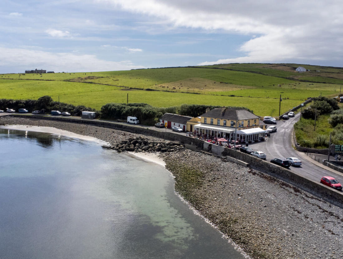 Cloonloughaun FortFairy fort / earthen ringfort · 1366 yd
 Lissofin Castle (in ruins)Castle, unclassified · 1.1 mi
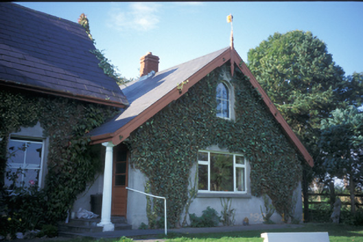 Spa Househouse · 1.1 mi
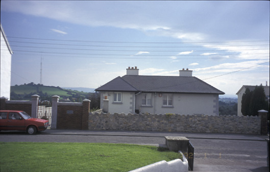 Tulla Househouse · 1.5 mi
 Tulla Castle (Site of)Castle, unclassified · 1.6 mi
 The StablesGallery · 1.6 mi
 Cloghleagh RockNamed rock · 2.0 mi
 The RingfortHeritage attraction · 2.9 mi
 Deerpark WoodForest · 4.6 mi
 Mass RockMemorial · 5.1 mi
 Calluragh WoodForest · 5.1 mi
Other information
Photo: Credit not shown in the picture search · Rights wording not checked; contact us if this picture should be removed