What is recorded here
On a SE-facing slope, in pasture and overlooking a valley floor to SE and undulating landscape in the vicinity. There is higher ground to N and E. The monument is depicted on the 1840 edition OS 6-inch map as an oval area (c. 27m NE-SW; c. 15m NW-SE) and on later OS mapping as a sub-oval area (25m NW-SE; 22m NE-SW). This is a roughly oval area (c. 22m NW-SE; c. 20m NE-SW) defined by the remains of a low, eroded bank (int. H 0.65m; ext. H 0.55m; overall Wth 4.25m) which is present intermittently NE-SE, where it is largely clear of vegetation. A bank (int. H 1.6m; ext. H 0.25m; Wth at top 0.5m; overall Wth 3.8m) is evident SE-NE, where it is largely obscured by vegetation. The interior is bowl shaped and is cut into the hillslope on the western side, where it is obscured by dense vegetation.
The following images have been uploaded:
CL035-065----_01.jpg From E. View of monument in its landscape setting.
CL035-065----_02.jpg From N. Cross-sectional view of bank at E.
CL035-065----_03.jpg From ENE. General view of monument.
Compiled by: Mary Tunney, Alison McQueen and Vera Rahilly
Date of upload: 9 January 2019
The monument record does not grant public access. Check the route and ask the landowner before entering private land.
- What survives
- Recorded monument
Places near here
 Abbeyhill FortEnclosure · 365 yd
 Hilltop enclosure in KnockadoonHilltop enclosure · 451 yd
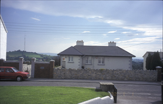 Tulla Househouse · 1573 yd
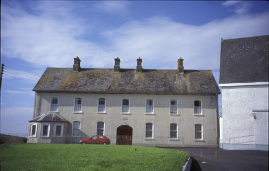 Cnoc na Gaoitheconvent/nunnery · 1654 yd
 Tulla Castle (Site of)Castle, unclassified · 1676 yd
 The StablesGallery · 1.1 mi
 Lissofin Castle (in ruins)Castle, unclassified · 1.2 mi
 Cloghleagh RockNamed rock · 2.2 mi
 The RingfortHeritage attraction · 3.7 mi
 Deerpark WoodForest · 4.7 mi
 Calluragh WoodForest · 5.2 mi
 Broadford Mass RockMemorial · 6.0 mi
Other information
Photo: Credit not shown in the picture search · Rights wording not checked; contact us if this picture should be removed