
What is recorded here
On top of a low hillock, in gently undulating and improved pasture. Depicted on all OS historic mapping and named ‘Abbeyhill Fort’. According to Westropp (1908-09, 388-9), ‘local tradition says the MacNamaras began to lay the foundation of the Franciscan Monastery [here], but changed their intention and built at Quinn instead’. A roughly circular area (c. 21m N-S; c. 23.5m E-W) defined by the remains of an earthen bank (int. H 0.4m; ext. H 1m; Wth at top 0.5m; overall Wth 2.65m) evident all around. There is a narrow gap (Wth 1m) at W, although there is no clear entrance gap due to much of the bank being obscured by vegetation. The interior is largely inaccessible being obscured by vegetation including a number of fallen mature thorn trees, ivy and briars.
The following images have been uploaded:
CL035-066----_01.jpg From S. General view of monument.
CL035-066----_02.jpg From W. Oblique cross-sectional view of bank at SW.
CL035-066----_03.jpg From SE. Landscape view of ringfort (CL035-066----) taken from ringfort (CL035-067----).
Compiled by: Mary Tunney, Alison McQueen and Vera Rahilly
Date of upload: 9 January 2019
Abbeyhill Fort, Lisduff is a ringfort situated on a low hillock, likely dating to the early medieval period. Local tradition, as noted by Westropp, associates it with the MacNamaras, though specific folklore or historical details remain fragmentary.
The monument record does not grant public access. Check the route and ask the landowner before entering private land.
- What survives
- Recorded monument
Places near here
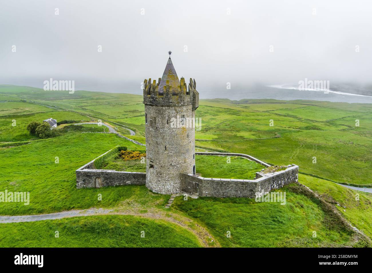 Enclosure in Rannagh (tulla Upper By.)Enclosure · 365 yd
 Enclosure in Lisduff (tulla Upper By.)Enclosure · 432 yd
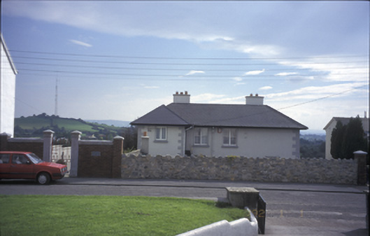 Tulla Househouse · 1.0 mi
 Tulla Castle (Site of)Castle, unclassified · 1.1 mi
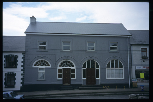 Tulla Constabulary Barrackmarket house · 1.1 mi
 The StablesGallery · 1.3 mi
 Lissofin Castle (in ruins)Castle, unclassified · 1.4 mi
 Cloghleagh RockNamed rock · 2.3 mi
 The RingfortHeritage attraction · 3.8 mi
 Deerpark WoodForest · 4.5 mi
 Calluragh WoodForest · 5.0 mi
 Broadford Mass RockMemorial · 5.9 mi
Other information
Photo: Credit not shown in the picture search · Rights wording not checked; contact us if this picture should be removed