What is recorded here
In generally level pasture. Named 'Longford Bridge' on current edition OS 6-inch map. Carries the Herbertstown-Limerick Road (R514) over the Camoge River flowing from from E to W. The river at this location marks the townland boundary between Caherelly West to the N and Ballingooley/Rawlesytown to the S. Present bridge in the parish of Cahirelly or Ballybricken replaced older 'Longford Bridge' described in 1837 as 'an ancient structure of nine arches' (Lewis 1837). No remains of this older structure survives.
Present skewed bridge comprising of three segmental arches of roughly coursed limestone blocks. Arches have cut limestone voussoirs with chamfered edges and line dressing around edges; keystones slightly longer in length. Arch and pier to S are dry. Central arch over stream has slightly longer span. Piers pointed on up-stream to E are tiered. Base of central pier is of mass concrete, exposed due to low water levels. Parapet wall (int. H 0.9-1.0m; T 0.4-0.45m) of rubble stone has vertical coping. Parapet wall (L 168m; int. H 0.9-1.0m; ext. H max. 3.3m on W-side) extends as a causeway over wet ground either side of bridge to N of river. Rectangular water outlets (Wth 0.15m; H 0.3m; D 0.42m) at base of parapet wall/road-metal visible at intervals. Rubble stones of intrados follow skewed formation and calcification of lime mortar evident under haunch. Springing wall (H 0.7m) on either side is constructed of large, well cut limestone blocks, punch dressed with fine line tooling around edges. S-arch (true height 1.05m; skewed span 9.05m); W-side central pier is flat and S-pier on landward side flat also; N-pier and N-side of N-arch obscured by vegetation.
Compiled by: Alison McQueen
Revised by: Caimin O'Brien
Date of revised upload: 28 September 2018
The monument record does not grant public access. Check the route and ask the landowner before entering private land.
- What survives
- Recorded monument
Places near here
 Longford Bridgebridge · 1 yd
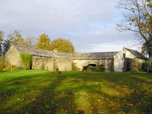 Coole Houseoutbuilding · 509 yd
 Enclosure in BallingoolaEnclosure · 543 yd
 BarrowBarrow, ring-barrow · 666 yd
 OultinedBawn · 1186 yd
 The SpectaclesVisitor information · 1.2 mi
 Lough Gur Heritage CentreVisitor information · 1.3 mi
 Banoge's WellSpring · 1.3 mi
 Pedunculate OakPedunculate Oak · 1.5 mi
 Black Castle (Site of)Castle, unclassified · 1.5 mi
 Skool HillMountain / peak · 1.8 mi
 Grange Stone CircleArchaeological place · 2.1 mi