What is recorded here
Situated on a low hillock in an upland area with the Clare River nearby to SE. Two stones, aligned NNE-SSW, standing 0.73m apart. The NE stone measures 0.9m H; 0.38m x 0.97m. The SW stone measures 0.9m; 0.44m x 0.9m and is partly collapsed, tilting towards the NE stone. Packing-stones are visible at the base of both stones.
The above description is derived from 'The Archaeological Inventory of County Tipperary. Vol. 1 - North Tipperary' compiled by Jean Farrelly and Caimin O'Brien (Dublin: Stationery Office, 2002). In certain instances the entries have been revised and updated in the light of recent research.
Date of upload/revision: 22 September 2008
Likely dating to the Neolithic or early Bronze Age, the Long Stone at Scraggeen may have functioned as a boundary marker, ritual monument, or astronomical alignment feature. No specific folklore or detailed local tradition is recorded for this site.
The monument record does not grant public access. Check the route and ask the landowner before entering private land.
- What survives
- Recorded monument
Places near here
 Outlined, KnockaunnamoughillyEnclosure, large enclosure · 525 yd
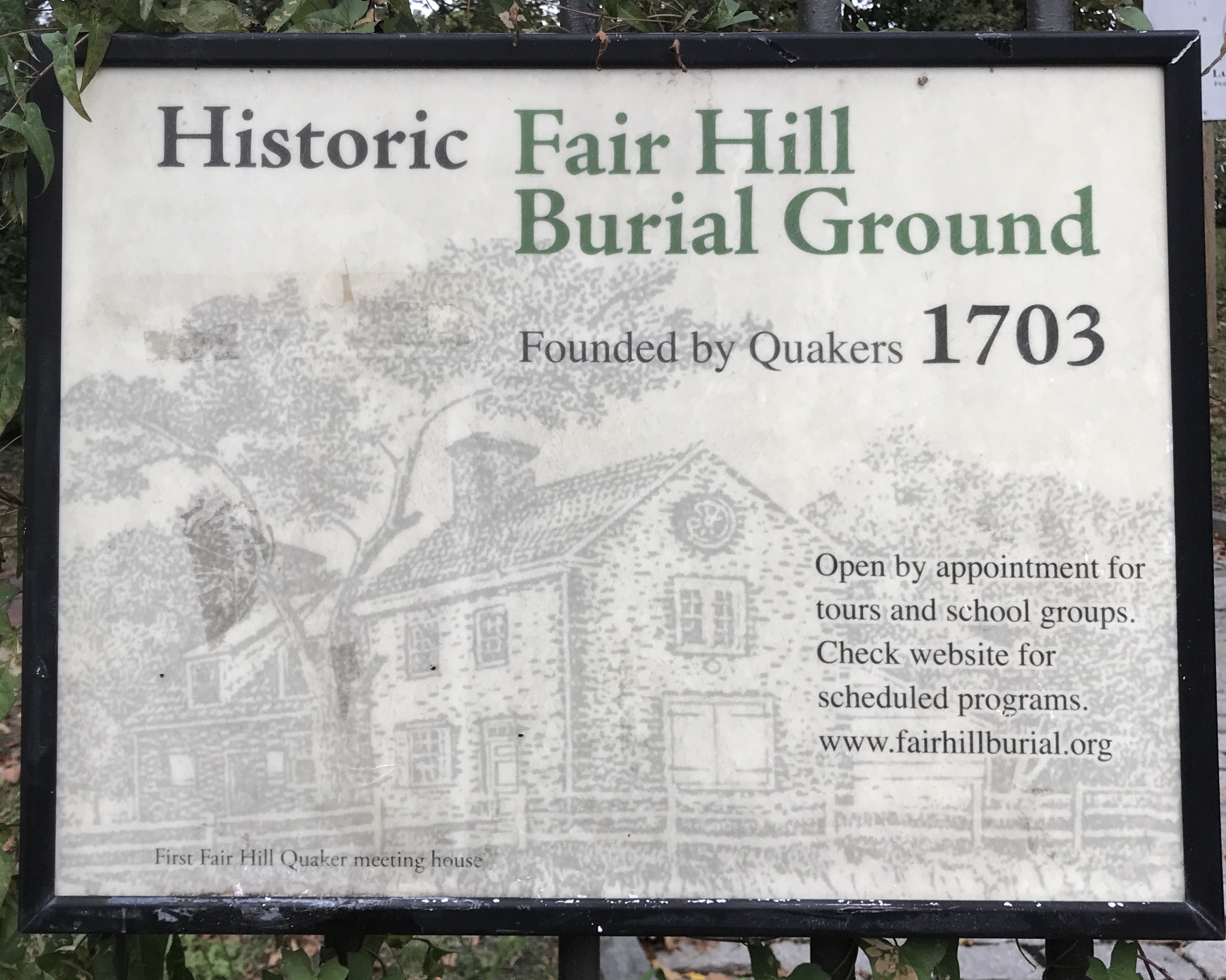 Kill Burial Ground for ChildrenChildren's burial ground · 1200 yd
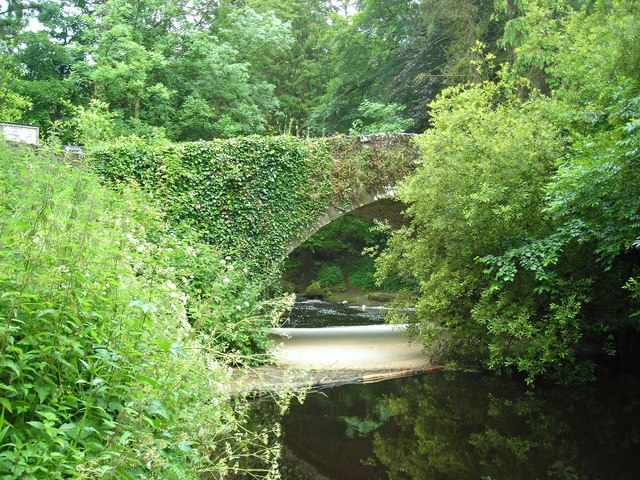 Clare Bridgebridge · 1.1 mi
 Wall monument (present location) in Boarmanshill,garranbaneWall monument (present location) · 1.3 mi
 Site of Derryleigh CastleCastle, unclassified · 1.5 mi
 Castle WellerCastle · 2.2 mi
 Slieve Felim WayWalking route · 2.3 mi
 Sliev Felim WayVisitor information · 2.5 mi
 Slieve FelimMountain / peak · 2.9 mi
 Slieve Felim East TopMountain / peak · 4.0 mi
 Graveyard in AbingtonGraveyard · 4.0 mi
 Ballyhourigan WoodsForest · 5.4 mi