What is recorded here
A National Monument (No. 305). The stone had fallen towards the NE and before its re-erection in 1934, detailed drawings were done and its socket was excavated which revealed a small cist (KD024-009002-) at SW (Leask 1937, 250-52). On slightly elevated ground in good pasture. A tall tapering granite pillar (total H. 7m; lower L 0.96m N-S; Wth 0.65m) with the lower portion (H 1.2m) set into a socket, and weighing some nine tons (ibid.). (Killanin and Duignan 1967, 384; Harbison 1975, 126; Weir 1980, 167)
Compiled by: Gearóid Conroy
Date of upload: 11 June 2012
Likely dating to the Neolithic or early Bronze Age, the Long Stone at Punchestown Great was originally part of a burial or ritual landscape, as indicated by the associated small cist. Such standing stones may have marked territorial boundaries, commemorated individuals, or played a role in ceremonial practices.
The monument record does not grant public access. Check the route and ask the landowner before entering private land.
- What survives
- Recorded monument
Places near here
 Punchestown LongstoneArchaeological place · 11 yd
 IndicatedEnclosure · 623 yd
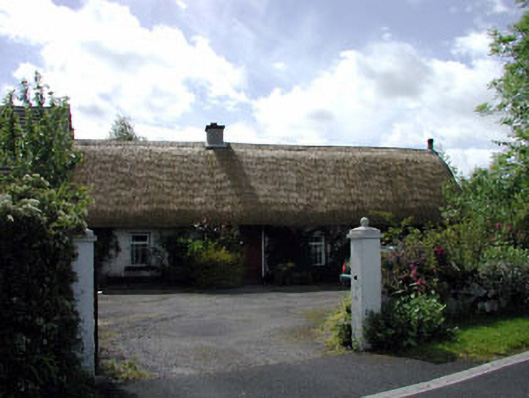 farm housefarm house · 1131 yd
 Blackhall Castle (in Ruins)Castle, tower house · 1607 yd
 Church (in Ruins)Church · 1.1 mi
 Site of CastleCastle, unclassified · 2.1 mi
 Sillagh Bog WoodForest · 2.2 mi
 Poplar SquarePicnic place · 2.3 mi
 European YewEuropean Yew · 2.4 mi
 Councillor Jim MileyMemorial · 4.2 mi
 Proclamation of the Irish RepublicMemorial · 4.2 mi
 Cupidstown HillMountain / peak · 6.0 mi