
What is recorded here
On flat pasture immediately E of the Clareville Water Treatment Plant on the S bank of the River Shannon located 120m to N. Annotated 'Logalean Fort' on 1840 ed. OS 6-inch map where it is depicted as a large sub-rectangular or roughly oval-shaped enclosure. On the 1897 OS 25-inch map the W half of the monument is enclosed by a bank which has been reduced to a scarp from NNW through N to E and has been levelled completely at SE. Remains consist today of a sub-rectangular shaped area (approx. int. dims. 53m NE-SW x 34m NW-SE) enclosed by a much degraded bank and external fosse which are clearly visible on Google Earth orthoimage taken 06/02/2018.
See attached Google Earth orthoimages
Compiled by: Edmond O’Donovan
Date of upload: 10 July 2020
Logalean Fort, Hachured, Newgarden North is a likely early-medieval ringfort, indicated by its sub-rectangular shape on the 1840 OS 6-inch map. While no specific folklore is recorded, its location near the River Shannon suggests it may have been a defensive or agricultural settlement in the early medieval period.
The monument record does not grant public access. Check the route and ask the landowner before entering private land.
- What survives
- Recorded monument
Places near here
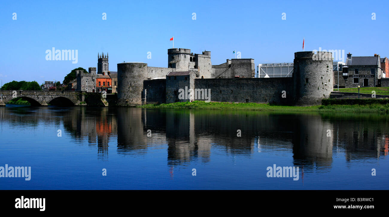 Logalean FortArchaeological place · 12 yd
 River Bleach Millmill (water) · 416 yd
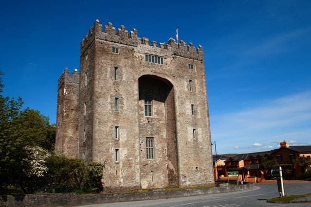 The Turret (in Ruins)Castle, unclassified · 539 yd
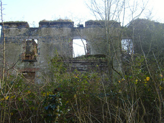 Prospect Househouse · 550 yd
 OutlinedFairy fort / earthen ringfort · 942 yd
 Johns Castle (in Ruins)Castle, unclassified · 1.0 mi
 Campus MapVisitor information · 2.7 mi
 Visitor CentreVisitor information · 2.7 mi
 Fountain SculptureHeritage attraction · 2.8 mi
 Seán Keating GalleryGallery · 3.6 mi
 The Pollagh TrailNature reserve · 5.8 mi
 Graveyard in AbingtonGraveyard · 6.5 mi
Other information
Photo: Credit not shown in the picture search · Rights wording not checked; contact us if this picture should be removed