What is recorded here
Within the W sector of a rath (GA084-076----). This children's burial ground is defined by a densely overgrown roughly square area (c. 2m N-S; c. 2m E-W) within which a number of small set stones indicate graves. (Cody 1989, 200-2, no. 50)
Compiled by: Galway Archaeological Survey, UCG
Date of upload: 3 January 2018
The monument record does not grant public access. Check the route and ask the landowner before entering private land.
- What survives
- Recorded monument
Places near here
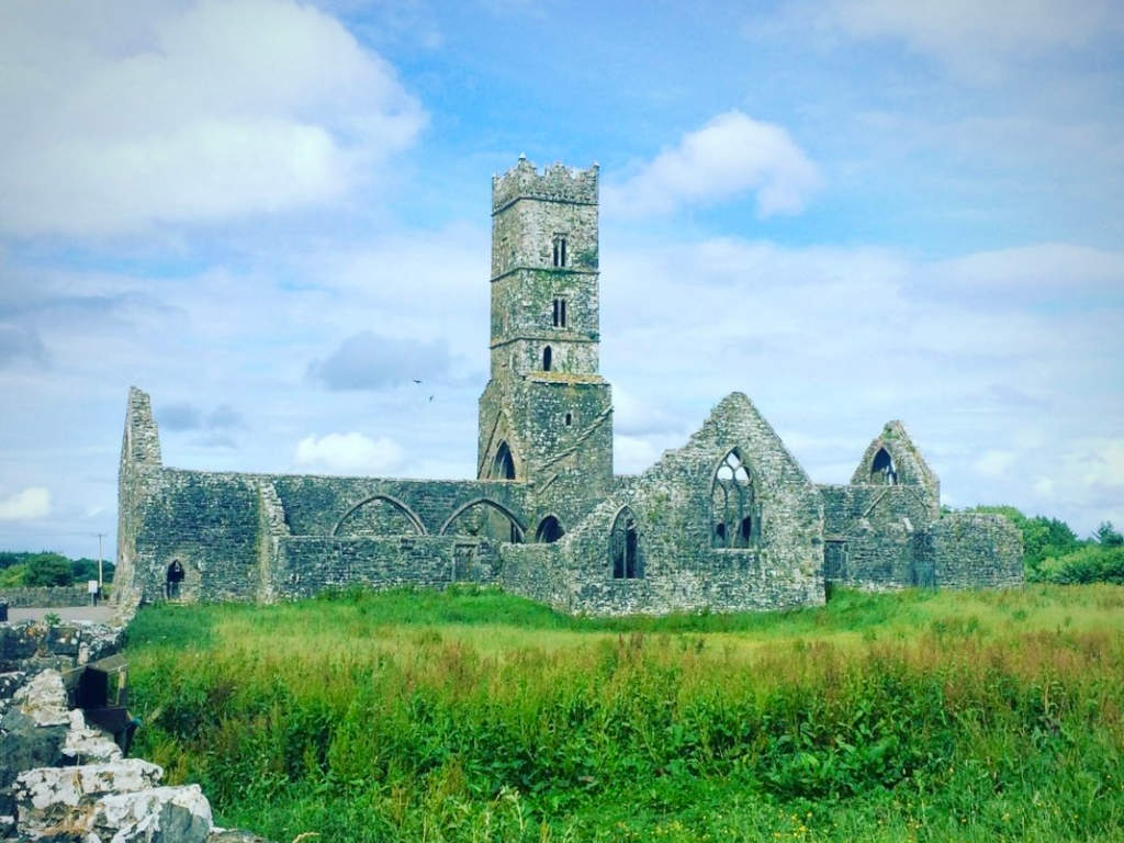 Cloonbrusk Castle (in ruins)Castle, unclassified · 1.1 mi
 Dominican FriaryReligious house, unclassified · 1.2 mi
 Enclosure in BruskEnclosure · 1.2 mi
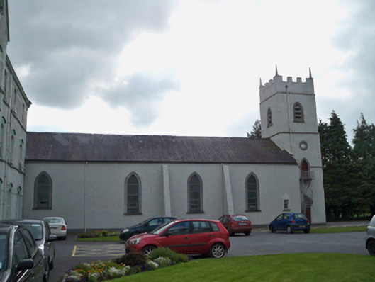 Saint Patrick's Redemptorist Monasterychurch/chapel · 1.2 mi
 Man-made underground passage in Ballyboggan (graigabbey Ed)Man-made underground passage · 1.3 mi
 MoteCastle, motte and bailey · 2.3 mi
 Moyard WoodWood · 2.9 mi
 Athenry CastleHeritage attraction · 2.9 mi
 Athenry AbbeyHeritage attraction · 2.9 mi
 Horse-chestnutHorse-chestnut · 3.1 mi
 First Battle of Athenrybattle · 3.2 mi
 Barrack IslandIslet · 8.2 mi