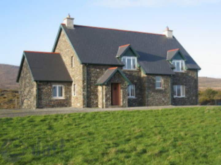
What is recorded here
Lisualinagh is a circular earthen ringfort in West Cork, measuring 36 to 38 metres across with a 2.15 metre bank and a shallow external ditch. It sits on a south-facing pasture slope where the land still holds the shape of human hands. The fort may have been a home, a boundary marker, or a place of story, but its walls have not spoken since people stopped repeating their names. What remains is a clear circle in the grass, waiting for someone to walk it and remember that living there once meant shaping the earth itself.
In pasture, on S-facing slope. Circular area (36m N-S; 38.2m E-W) enclosed by earthen bank (H 2.15m); external fosse (D 1.3m) SSE->SE.
The above description is derived from the published 'Archaeological Inventory of County Cork. Volume 1: West Cork' (Dublin: Stationery Office, 1992). In certain instances the entries have been revised and updated in the light of recent research.
Date of upload/revision: 14 January 2009
The monument record does not grant public access. Check the route and ask the landowner before entering private land.
- What survives
- Recorded monument
Places near here
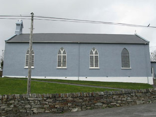 St. Patrick's Roman Catholic Churchchurch/chapel · 121 yd
 Air India Flight 182 Crash MemorialMemorial · 829 yd
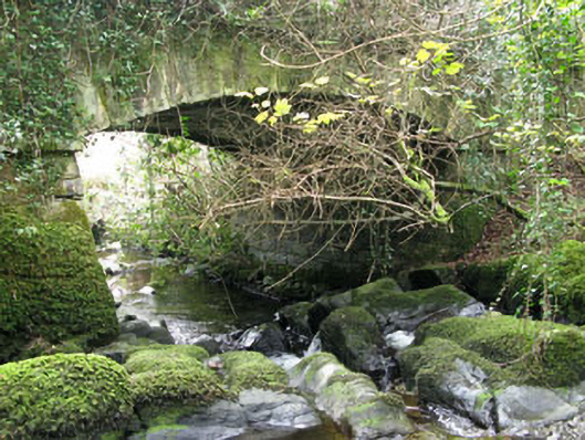 Ahakista Bridgebridge · 1101 yd
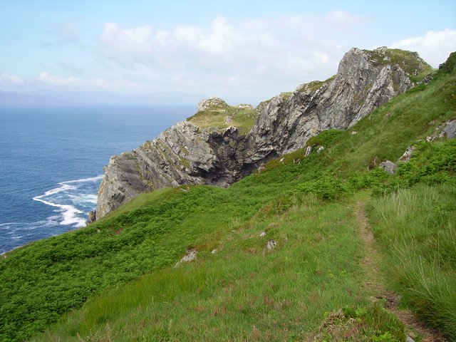 Sheep's Head WayWalking route · 1500 yd
 Owen's IslandIslet · 1528 yd
 Glanlough LoopWalking route · 1.0 mi
 Boulder-burial in GorteanishBoulder-burial · 1.1 mi
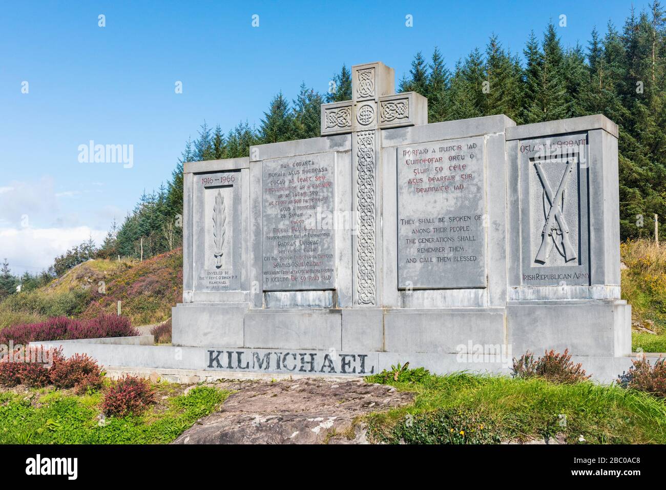 Tom Whitty memorialMemorial · 1.1 mi
 GouladaneMountain / peak · 1.2 mi
 Burial ground in ArdanenigBurial ground · 1.4 mi
 Dunbeacon Castle (in Ruins)Castle, tower house · 1.9 mi
 Rosskerrig MountainMountain / peak · 2.2 mi
Other information
Photo: Credit not shown in the picture search · Rights wording not checked; contact us if this picture should be removed