What is recorded here
In rough grazing overlooking Ahankeesha stream to N. Irregular area (8.8m E-W; 8m N-S) defined by grave markers. Local tradition of burial ground.
From the National Monuments Service (Archaeological Survey of Ireland) record CO130-014
The monument record does not grant public access. Check the route and ask the landowner before entering private land.
- What survives
- Recorded monument
Places near here
Photo credits
- National Inventory of Architectural Heritage
- Andrew Wood, Wikimedia Commons · CC BY-SA 2.0
- Colin Park, Geograph · CC BY-SA 2.0
- N Chadwick, Geograph · CC BY-SA 2.0
- Hywel Williams, Wikimedia Commons · CC BY-SA 2.0
- Gordon Hatton, Geograph · CC BY-SA 2.0
- Andreas F. Borchert, Wikimedia Commons · CC BY-SA 4.0
- Adriaen van Diest, Wikimedia Commons · Public domain
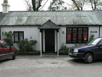 Ahakista BarPublic house · 1494 yd
 Rosskerrig MountainMountain / peak · 1517 yd
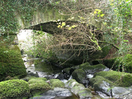 Ahakista BridgeBridge · 1594 yd
 SeefinMountain / peak · 1.9 mi
 Stone RowHeritage attraction · 2.2 mi
 Finn McCool's SeatViewpoint · 2.5 mi
 SeefinViewpoint · 2.5 mi
 Mass RockMemorial · 2.8 mi
 Megalithic TombMonument · 3.2 mi
 Peakeen Ridge Loop WalkWalking route · 3.9 mi
 Dunmanus BayBay · 4.1 mi
 Battle of Bantry BayMajor battlefield · 4.1 mi
More archaeology and monuments in County Cork · All of County Cork
What do you know about this place?