DDiscover AloneMapAbout

Lissheela

Fairy fort / earthen ringfort
Computer-made picture that does not show LissheelaNot a photo of this monument
Computer-made picture. It does not show this monument. · Report the wrong picture

What is recorded here

In improved pasture, in a stand of hazel trees, utilising a low rise on gently N-facing slope that falls 40m to the banks of the Gweestion River. This rath is named ‘Lissheela’ on the 1838 and 1931 OS 6-inch maps and is shown enclosed by a fosse and possible external bank. The remains consist of a circular earthen…

Read the whole record
In improved pasture, in a stand of hazel trees, utilising a low rise on gently N-facing slope that falls 40m to the banks of the Gweestion River. This rath is named ‘Lissheela’ on the 1838 and 1931 OS 6-inch maps and is shown enclosed by a fosse and possible external bank. The remains consist of a circular earthen platform (33.5m E−W; 33.5m N−S) defined by a high earthen scarp (2.5m at SW−NW; 1.35m at E). Large stones and boulders protrude randomly in parts from the scarp, especially towards the base. The fosse is evident as a slight depression marked by a band (Wth 3m) of richer grass growth. There is no trace of an external bank. The enclosing scarp is lowest at E, the most likely location for an original entrance. A spine of raised ground extends across the centre of the interior on an E-W axis, with a possible Man-made underground passage (MA071-017001-) incorporated into its W end. At the E end of the rise there is a low concentration (diam. c. 2m) of stones, including a large prostrate slab, at the base of a few hazel trees. The rath is densely covered in hazel trees. All the field boundaries shown adjacent to and abutting the rath on the OS maps have been removed. There is a rath (MA071-014----) 260m to WSW.

From the National Monuments Service (Archaeological Survey of Ireland) record MA071-017

This remains an important historical record, but the official description says the monument is no longer visible or has been destroyed. The monument record does not grant public access. Check the route and ask the landowner before entering private land.

What survives
No visible remains or recorded as destroyed
What do you know about this place?Tap to add a comment or ask a question

What you write will be public.

Places near here

Photo credits
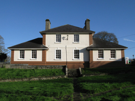
  • National Inventory of Architectural Heritage
  • Maker not stated on source page, setonshrine.org
  • Maker not stated on source page, www.pinterest.com
  • JohnArmagh, Wikimedia Commons · CC BY-SA 3.0
  • Maker not stated on source page, www.joinmychurch.com
  • Maker not stated on source page, www.flickr.com
  • Golfing in Ireland; photographer not stated, Source publisher
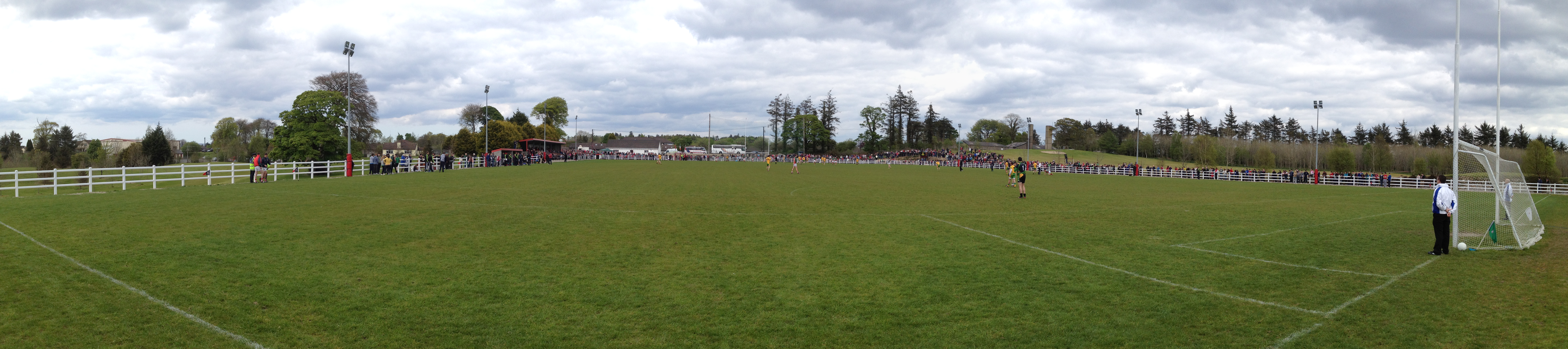
  • Swinford GAA; the page thanks Michael Maye, Rita Campbell and Fiona McDonagh, without assigning the panoramic image to one maker, swinfordgaa.ie
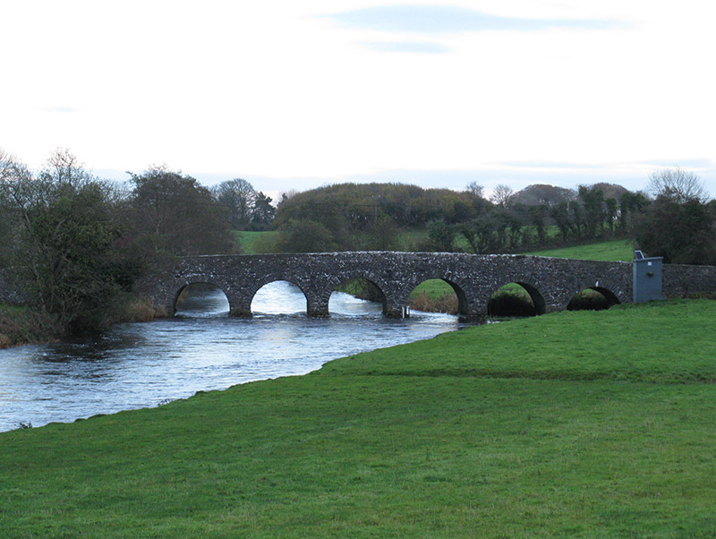
Scarrownageeragh BridgeBridge · 343 yd

Explorer Tom Scarrownageeragh Bridge is arching over the Gweestion River with an elegance that makes me want to slow down and…

St. Joseph's Cemetery BoholaCemetery · 1399 yd

Explorer Tom St. Joseph's Cemetery Bohola has a very clear plan for retirement, which involves sitting still for another five…

CastleCastle, unclassified · 1746 yd

Explorer Tom This castle in Newcastle would cope fine on a reality show by simply ignoring everyone and complaining about the…

Round Tower1.5 mi

Explorer Tom Round Tower in Meelick is sick of being asked if it’s actually round, because yes, mate, it’s circular, stop squinting…
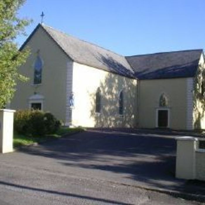
Church (Site of)Church · 1.5 mi

Explorer Tom Church in Meelick is secretly proud of a potato it grew in the graveyard soil last summer. It’s a massive spud that…

Church in RuinsChurch · 2.5 mi

Explorer Tom Church in Ruins in Ballintemple would cope brilliantly on a reality show. It’s quiet, brooding, and never answers…
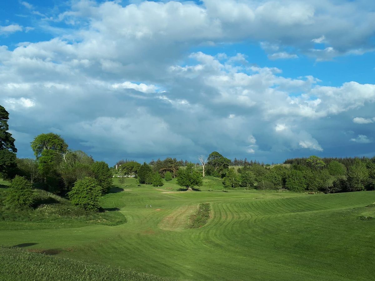
Swinford Golf ClubGolf course · 4.3 miRobert McCallion Memorial Park, Swinford GAAGAA ground · 4.4 miBallyvary, Ballyvary HurlingGAA ground · 4.8 miKiltimagh Cottage HospitalHospital/infirmary · 5.3 mi

Explorer Tom Kiltimagh Cottage Hospital has a legend about a tunnel to the pub so patients could sneak out for pints. It was…
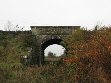
bridge5.3 mi

Explorer Tom The bridge in Kiltamagh took about four million cups of tea to build, according to legend. It’s tied to an old railway…

Maghus Castle and Tir na nÓg PlaygroundChildren's playground · 5.4 mi

Explorer Tom Maghus Castle and Tir na nÓg Playground in County Mayo would order double chips and a mystery sauce at the chipper.…

More archaeology and monuments in County Mayo · All of County Mayo

Add to this placeAdd a picture Add a detailed tip Add a story

Explore the map1,095,414 places to discover

Next place · or swipeScarrownageeragh Bridge