What is recorded here
Lissavullan is a vanished Galway ringfort, recorded in 1838 as a 32m circular enclosure on a west-facing grassland slope. It was partially levelled before the 1944-5 map revision, erasing the surface trace people could once walk around. The outline still appears in aerial imagery, preserving the shape of a place that stopped being obvious to the living.
On a W-facing slope in grassland. Marked on the 1838 edition of the OS 6-inch map as a circular enclosure (diam. c. 32m); partially levelled on the 1944-5 revision of the map. No visible surface trace survives. However, its outline is clearly visible on the OSi digitalglobe aerial photograph.
Compiled by: Galway Archaeological Survey, UCG
Date of upload: 10 April 2019
The monument record does not grant public access. Check the route and ask the landowner before entering private land.
- What survives
- Recorded monument
Places near here
 Quarry in BallinlugQuarry · 1325 yd
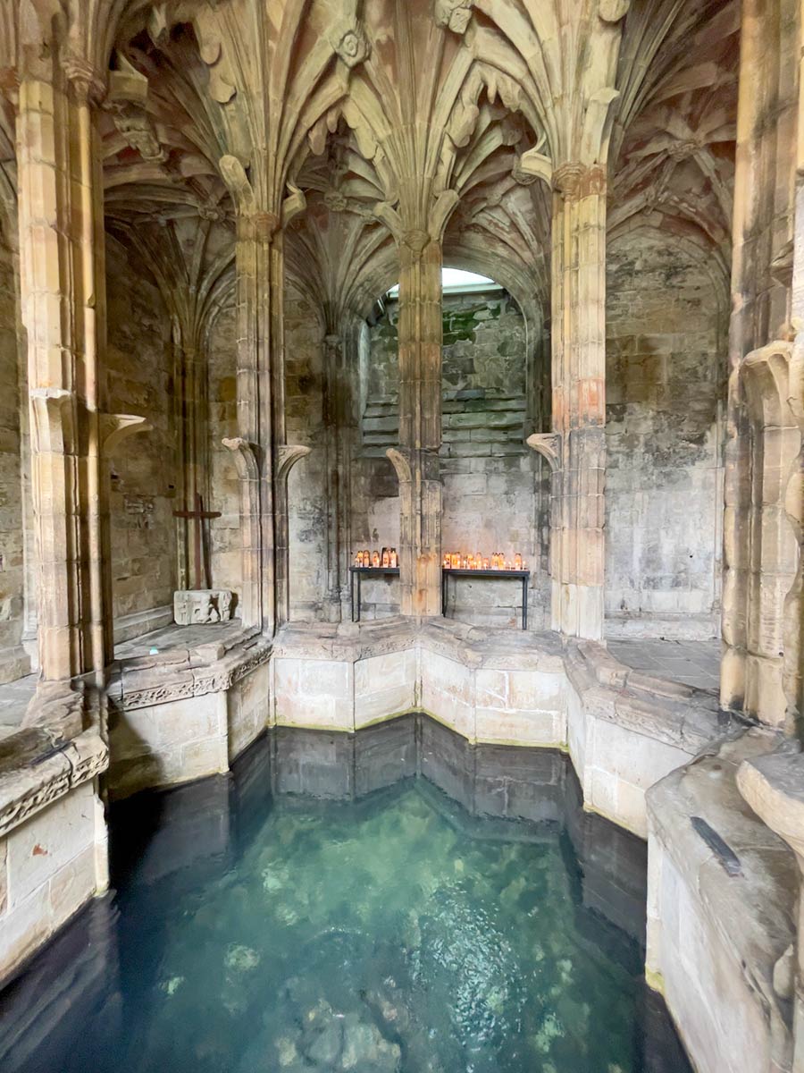 Ecclesiastical enclosure in StowlinEcclesiastical enclosure · 1460 yd
 St Patricks WellHoly well · 1542 yd
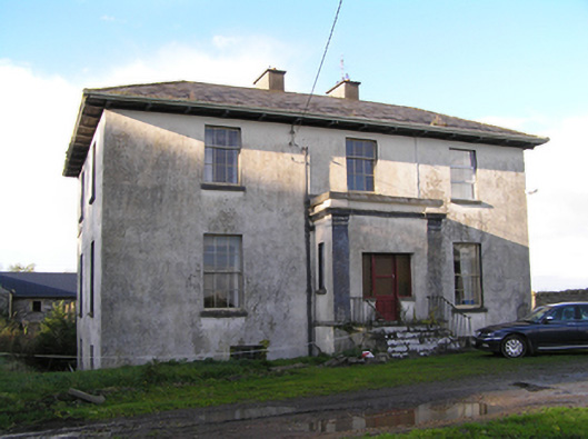 Stowlin Househouse · 1.1 mi
 Longford Castle (in ruins)Castle, unclassified · 1.5 mi
 Derryhiveny CastleCastle · 3.0 mi
 Ballymacegan IslandIsland · 3.4 mi
 Long IslandIsland · 3.5 mi
 Church HillMountain / peak · 4.1 mi
 Silver FirSilver Fir · 4.6 mi
 Redmond HillMountain / peak · 4.9 mi
 European ashEuropean ash · 6.9 mi