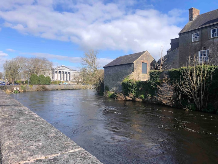
What is recorded here
On good pastureland, near the top of a low but moderately steep NE-facing slope. Hachured and named ‘Lissavorneen’ on the 1842 and 1915 eds. of the OS 6-inch maps and named ‘Lios an Boirnín on Robinson’s map (1977). A large poorly preserved oval rath (45.7m E–W; 41m N–S crest to crest) defined by a low but wide earthen bank upon which a later field wall runs SE–NW. The outer face of the bank is denuded of sod cover along the W side showing its earthen construction. A gap (Wth 6m) at SE may be the site of a now enlarged original entrance. A second gap (Wth 1.4m) at ENE is a modern cattle gap. A now inaccessible Man-made underground passage (CL005-004002-) is located in the SW sector.
Compiled by: Mary Tunney and Ros Ó Maoldúin
Date of upload: 15 December 2020
Lissavorneed, Newquay is a ringfort, likely dating to the early medieval period, situated on a slope with historical cartographic references including the name ‘Lios an Boirnín’, which suggests a Gaelic origin. Local tradition associates such sites with fairy folklore, and it may have been considered a place of supernatural significance in the past.
The monument record does not grant public access. Check the route and ask the landowner before entering private land.
- What survives
- Recorded monument
Places near here
_-_geograph.org.uk_-_6978570.jpg?width=1280) Finavarra Housecountry house · 356 yd
Finavarra Housecountry house · 356 yd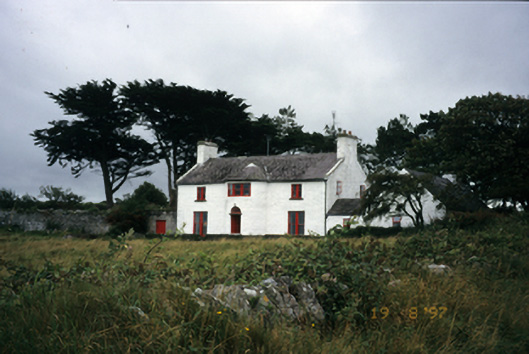 Mount Vernon Lodgehouse · 746 yd
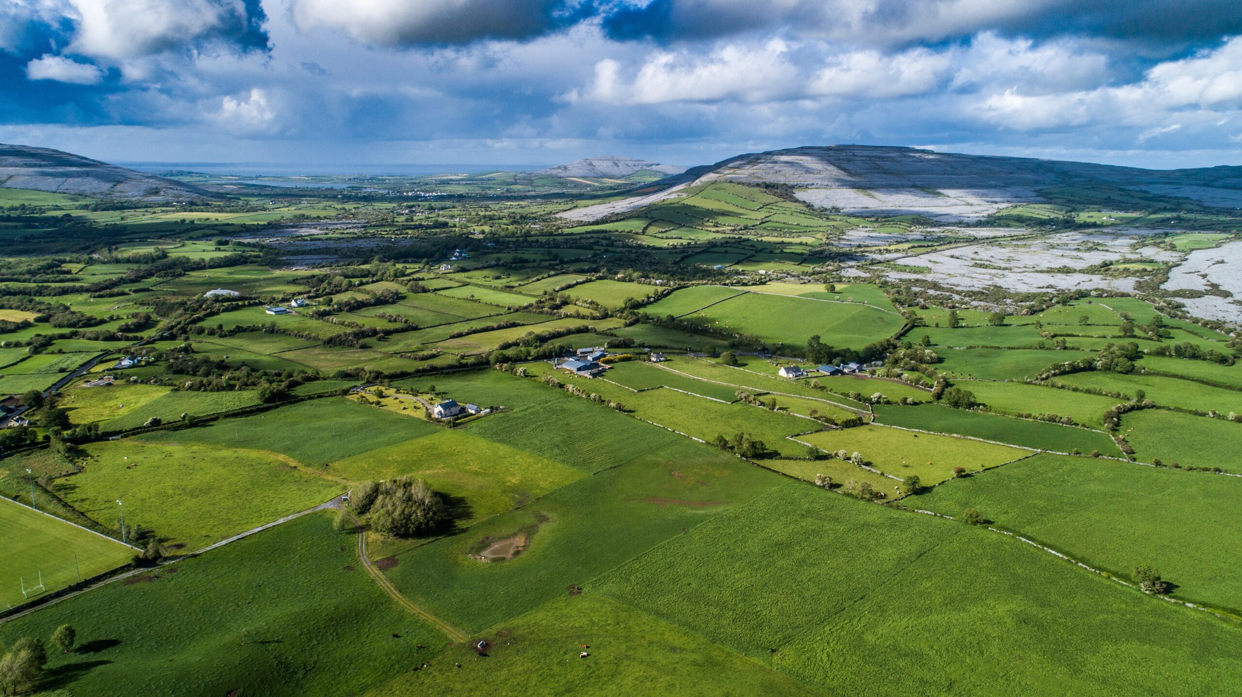 Parkmore FortFairy fort / ringfort · 840 yd
 Donoghmore ODalys MonumentLeacht cuimhne · 845 yd
 The Russell GalleryGallery · 1117 yd
 Muckinish PointHeadland · 1201 yd
 Shanmuckinish CastleCastle, tower house · 1726 yd
_-_geograph.org.uk_-_5527885.jpg?width=1280) IndicatedBawn · 1734 yd
IndicatedBawn · 1734 yd Saint Patrick's ChurchHeritage attraction · 1.7 mi
 Battle of Lough Raskabattle · 2.3 mi
 Abbey HillMountain / peak · 2.4 mi
 Moneen MountainMountain / peak · 2.5 mi
Other information
Photo: Credit not shown in the picture search · Rights wording not checked; contact us if this picture should be removed