What is recorded here
On a rise in low-lying pastureland. Circular rath (diam. c. 40m), in fair condition, defined by a bank. Field boundaries radiate from the monument at WSW and NNW. Either of two gaps at N and SSE could mark an original entrance.
Compiled by: Galway Archaeological Survey, UCG
Date of upload: 1 December 2017
The monument record does not grant public access. Check the route and ask the landowner before entering private land.
- What survives
- Recorded monument
Places near here
 Parkeen WellHoly well · 560 yd
 CastleCastle, unclassified · 1017 yd
 Field system in Castletown (longford By.)Field system · 1095 yd
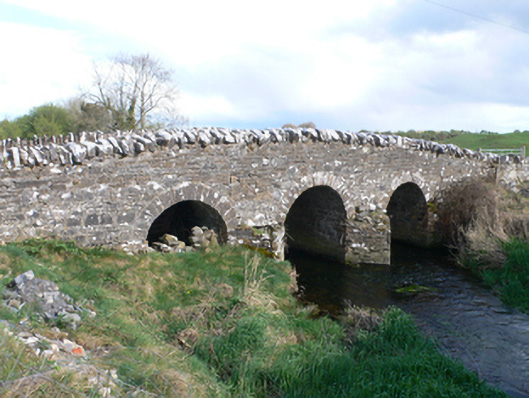 Castletown Bridgebridge · 1348 yd
 Knockaunnageeragh Castle in ruinsCastle, unclassified · 1.0 mi
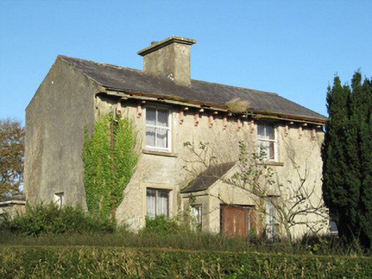 Lisduff Househouse · 1.4 mi
 Quarryhill WoodWood · 2.9 mi
 Bog WoodForest · 3.5 mi
 Dartfield Horse MuseumHeritage attraction · 5.1 mi
 Church HillMountain / peak · 6.2 mi
 Battle of AughrimMajor battlefield · 8.5 mi
 The bloody HollowHeritage attraction · 8.5 mi