What is recorded here
Lissatogher Forts in County Galway were a circular earthen enclosure about forty metres across, marked on maps in 1945 and known locally as a fort. Field banks later cut across the site, and levelling around 1950 reduced the ridge to a faint scar in the grass. The shape still whispers through the soil, inviting imagination to fill the gap left by forgotten hands.
In undulating grassland, some 20m to the S of another rath (GA107-178----). Marked on the 3rd edition of the OS 6-inch map (1945) as a circular enclosure (diam. c. 40m) and known locally as a
‘fort’. All that survives is a roughly subcircular area (43m N-S; 25.5m E-W) defined by a degraded scarp. Traces of a fosse survive from S through W to N. Field banks cut across the monument from W to E and from NNE to SSE. The monument was levelled c. 1950.
Compiled by: Galway Archaeological Survey, UCG
Date of upload: 13 April 2018
The monument record does not grant public access. Check the route and ask the landowner before entering private land.
- What survives
- Recorded monument
Places near here
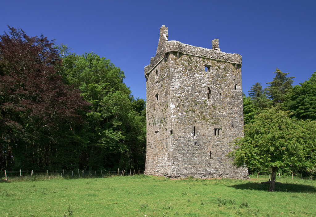 Lissatogher FortsFairy fort / earthen ringfort · 59 yd
 Skycur Househouse · 407 yd
 LissaniskaFairy fort / earthen ringfort · 447 yd
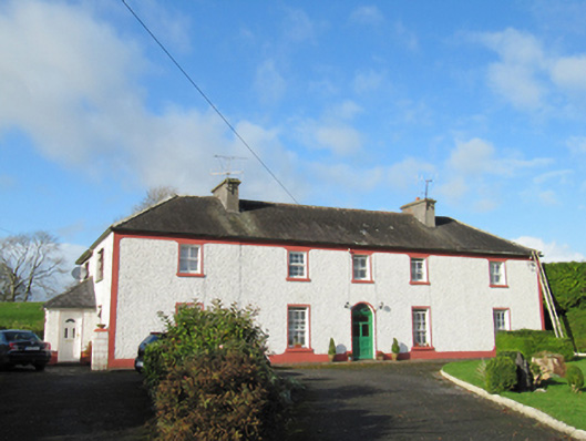 Raheen Househouse · 932 yd
 European YewEuropean Yew · 2.1 mi
 European BeechEuropean Beech · 2.4 mi
 Ballymore CastleCastle, tower house · 2.4 mi
 MoatCastle, motte and bailey · 2.5 mi
 Redmond HillMountain / peak · 3.8 mi
 The bloody HollowHeritage attraction · 6.0 mi
 Urraghry HillMountain / peak · 6.0 mi
 Battle of AughrimMajor battlefield · 6.2 mi